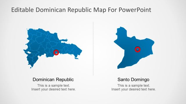
Zoomed In City Map
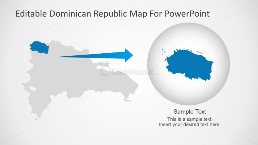
The Dominican Republic PowerPoint Zoomed in City Map is an incredible design which highlights the province. The slide shows an arrow and circular clip art template to focus on particular area of geographical map. This simple PowerPoint of editable map provides blue and gray color theme of shapes. The users can change colors from shape fill option or resize the icons with simple clicks. This slide can help teachers and students to present the geographical topics. Use the map illustrations to demonstrate the numerous statistical analysis for Dominican Republic.
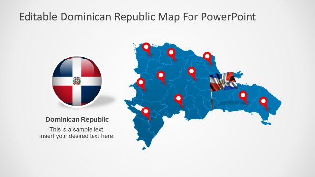
Return to Dominican Republic PowerPoint Map.