Burkina Faso PowerPoint Map
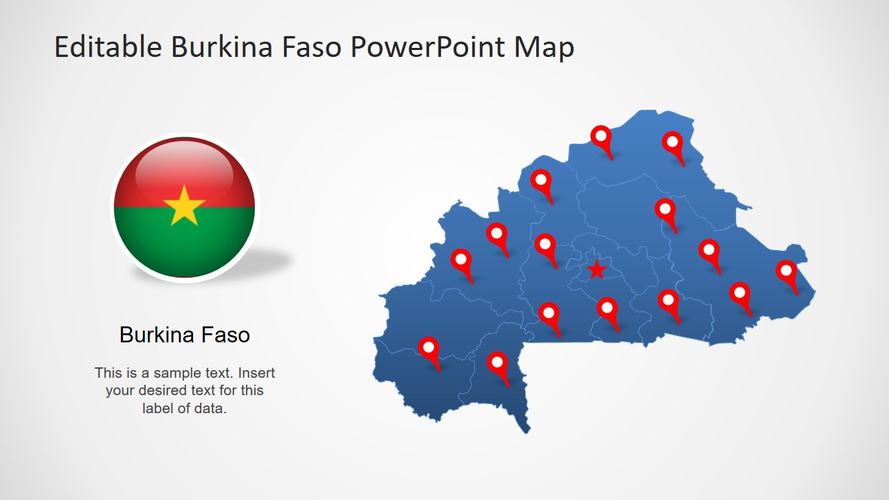
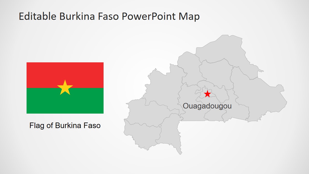
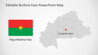
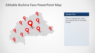
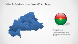
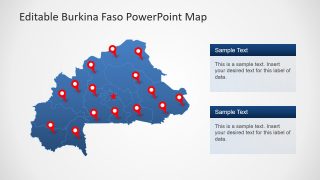
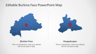
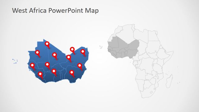
The Burkina Faso PowerPoint Map presents 8 slides for geographic regional presentation of country. It is an editable slide deck which provides multiple custom map layouts of West African country. SlideModel premium catalog of maps contains a continental map of West Africa and its countries. These custom designs of Burkina Faso map include various clipart icons and text placeholder styles. The additional PowerPoint shapes and placeholders are visual content support for presentation about Burkina Faso. Because graphics complement the concepts in any presentation. The map templates, however, are useful for labeling regions, cities, and important locations in PowerPoint presentations. Like a custom map to display national capital Ouagadougou and other regional divisions.
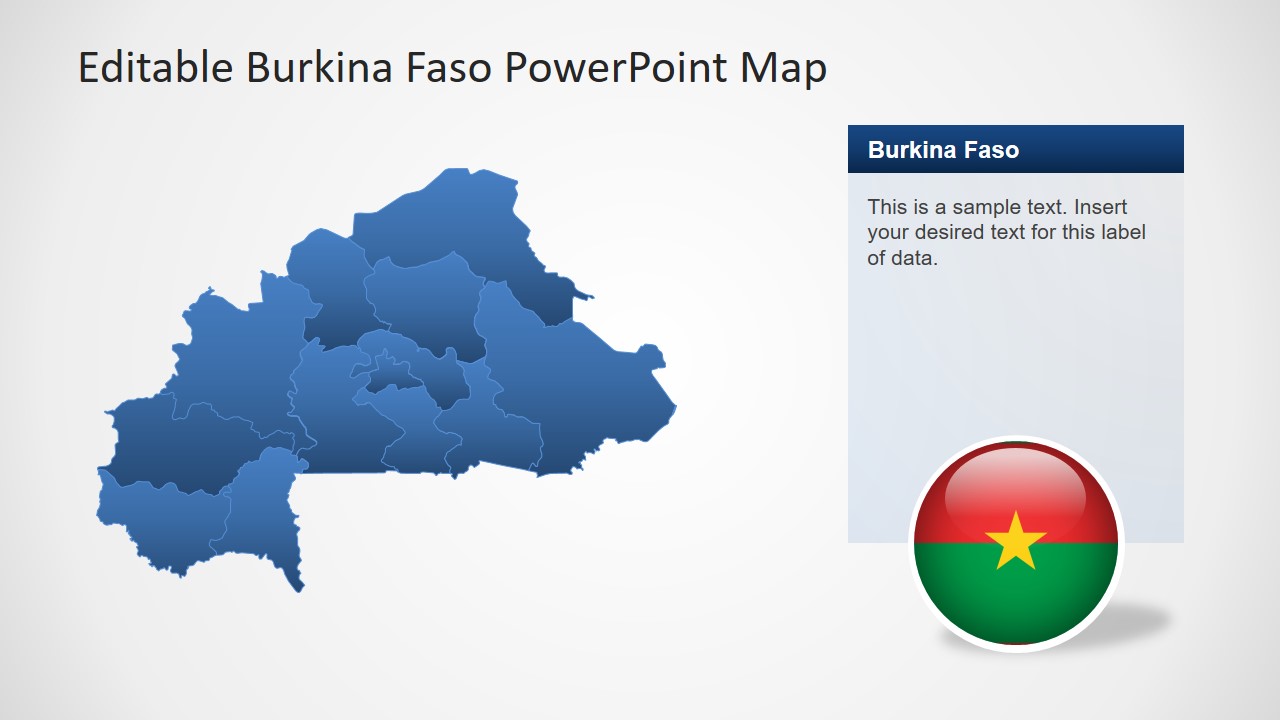
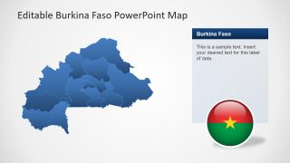
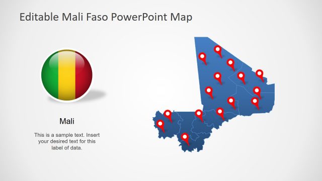
The map silhouette PowerPoint template has 13 segments as administrative divisions of Burkina Faso. This outline map in PowerPoint contains individual editable segments for these administrative divisions. Further, it shows two versions of Burkina Faso country flag i.e. circular badge and flat rectangle shape. A flag of the country along with regional and political map silhouette in PowerPoint will not only impress an international audience. It is also suitable for geographic learning presentations such as history and archeology lessons.
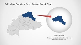
The Burkina Faso PowerPoint Map template initially shows blue and gray outline maps. This template offers slide design highlighting one administrative division of Burkina Faso. Users can use this design to highlight different administrative divisions. Moreover, add multiple colors representing each segment or change the color of entire map. In this way, the presenters can show demographic and statistical information about country.
