Alabama US State PowerPoint Map
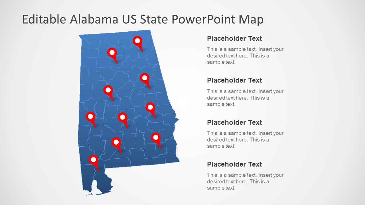
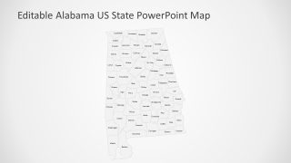
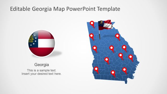
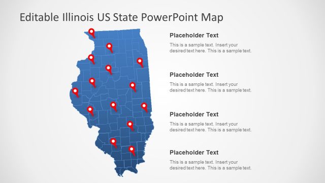
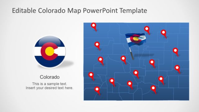
The Alabama US State PowerPoint Map is an outline map including seven slides. These slides show distinctive design versions for a political map of Alabama. In southeastern region, the state of Alabama is connecting with three other states and Gulf of Mexico. This state of America has 67 counties and, is the 30th largest by area. This template contains flat vector PowerPoint shapes to present those counties and geographical area of Alabama. It could also display the capital and major cities on the map using location pins and markers. Also, highlight the populated counties like Jefferson, mobile, Madison, and Montgomery. In this way, the presenter can help viewers to focus on most suitable areas for marketing or business opportunities.
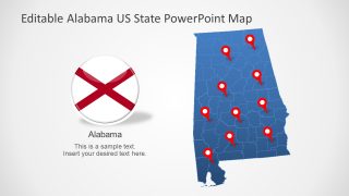
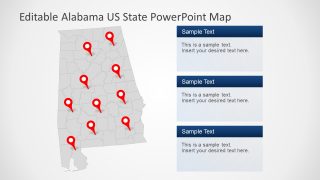
It is an editable Alabama US State PowerPoint Map, enabling users to make range of customizations in the design. This template shows the outline map in blue and gray shades. But users can change both shape and outline fill in different color in format menu. Similarly, each county out of 67 is an editable segment, and users can bright-up the map using shape-fill option. Furthermore, the Alabama US State map provides location markers and flag badge clipart icons. These icons assist while pointing a location on map or representing product or opportunity originating in the state of Alabama.
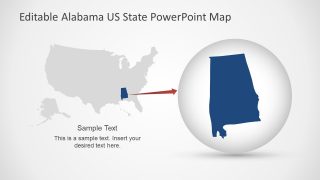
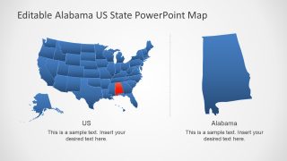
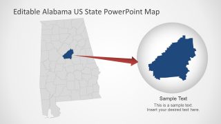
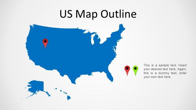
The PowerPoint Map presentation is suitable for several educational and other intuitional purposes. For example, in schools, it can help in learning the position of Alabama state and names of its counties. Or, professionals can graphically demonstrate market analysis and demographic surveys to their audience. The Alabama US State map PowerPoint contains two slides to show one segment of shape highlighted. Such as the USA map highlighting Alabama, and the state zooming-in on a county.
