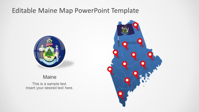
North Dakota US State PowerPoint Map
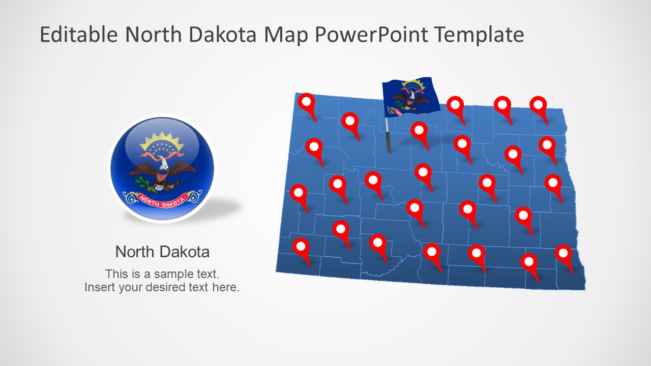
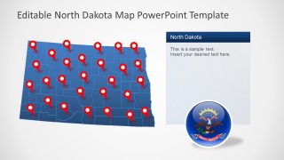
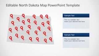
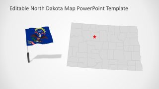
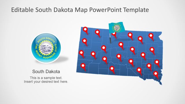
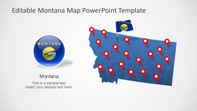
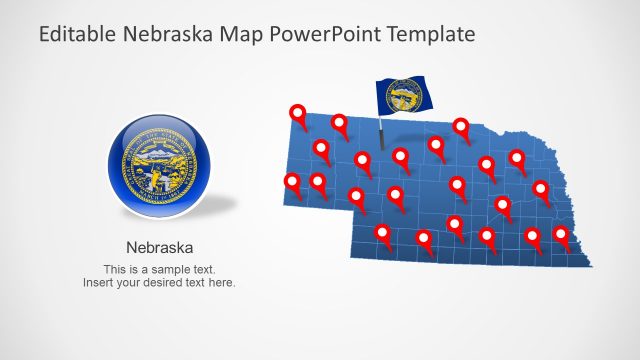
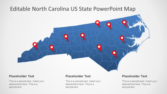
The North Dakota US State PowerPoint Map is a presentation of editable geographic maps. These maps are vector-based shapes you can use to describe regional topics. This presentation offers 7 layouts of North Dakota maps to choose from. Each slide contains PowerPoint shapes that will help communicate presentation ideas effectively. Such as GPS location markers, high-quality flag icons, and text placeholders on sides. These contents are useful when you are explaining concepts like surveys or regional demographics.
North Dakota is one of the landlocked states out of 50 states in the USA. It is known for the Great Plains of North America. This US state borders South Dakota to the south, Montana to the west, and two provinces of Canada to the North. North Dakota is known for its agriculture, geography, and tourist attractions.
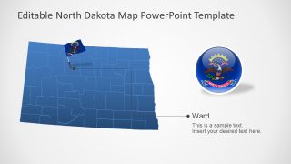
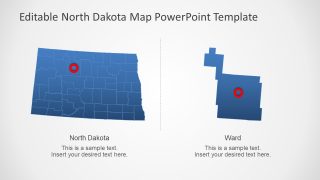
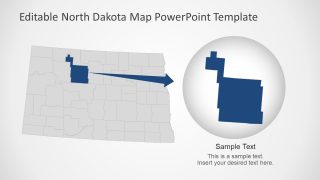
The North Dakota US State PowerPoint Map by SlideModel offers blue and gray outline amps. The users can change color scheme of these maps or customize various features from formatting menu. Further, 53 counties of North Dakota are editable segments that could be resized or recolored. In thy way, you can create a focused discussion around specific county or capital city in an engaging manner.
The editable PowerPoint templates for North Dakota maps are useful presentation tools to advertise State’s growth and culture. Moreover, these political maps could assist in visualizing different statistics like economic growth, health, business opportunities, etc.
