Nevada State US PowerPoint Map
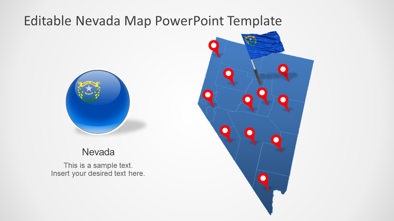
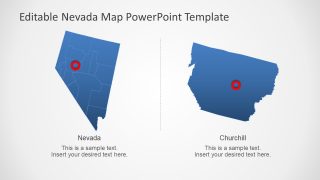
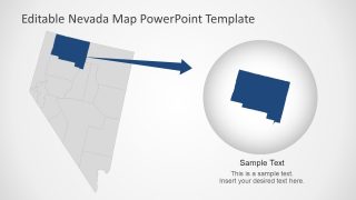
The Nevada State US PowerPoint Map is an editable silhouette map presentation. There are 8 variations of maps available to visualize different ideas about Nevada State. These maps are editable units of state counties, join to create a geographical map. The county maps are vector-based graphics that allow users to examine each county present in the state. In this way, the audience will be able to understand presentation data effectively. You can use different colors to represent these counties. Since these map templates are fully editable and let you change colors, size, and shape effects.
Nevada is a landlocked state sharing borders with Idaho and Oregon in north, Utah in east, California in southwest, and Arizona in southeast. The state capital is Carson city and one of its largest cities is Las Vegas.
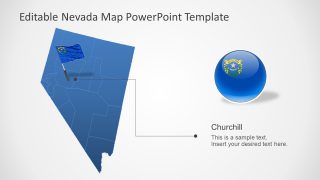
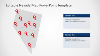
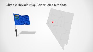
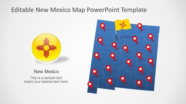
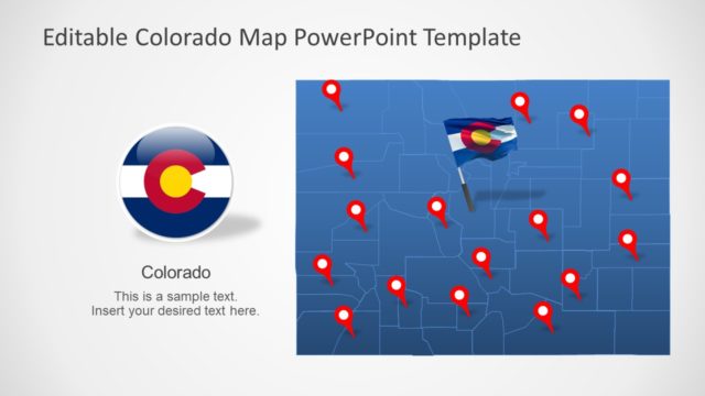
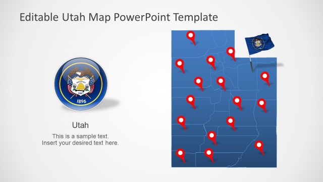
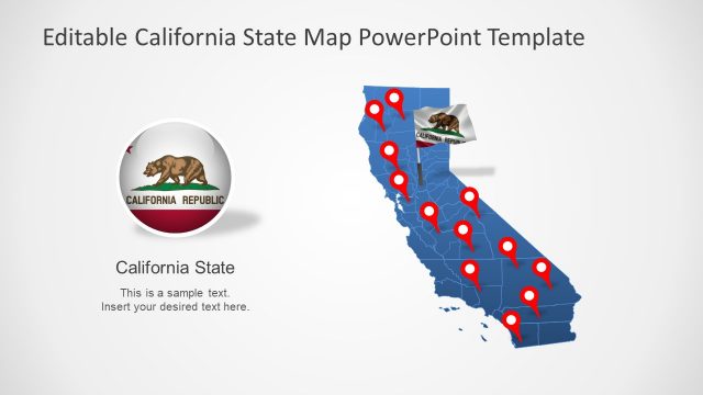
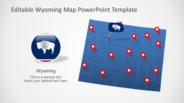
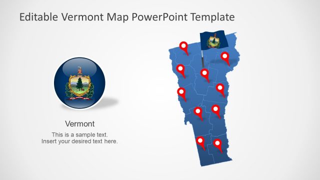
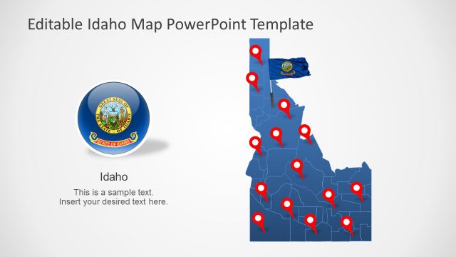
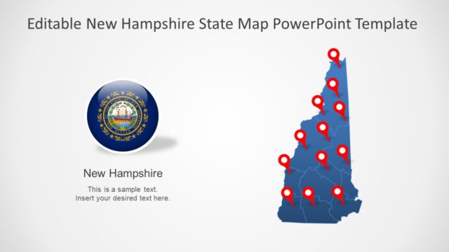
The Nevada State US PowerPoint Map template offers blue and gray silhouette maps. These vector-format PowerPoint include county boarders and highlight large cities. All clipart icons such as flags and location markers will let you visualize the geographical areas. It is easier to change or delete existing text or PowerPoint shapes.
The editable map templates of the US states are useful to display geographic regions in educations and business presentations. For example, demonstrating socio-economic or other statistical data of Nevada on international forums. Likewise, the location markers could help display the business franchises or target market in each county.
