Slide 2 of 8 from Namibia PowerPoint Map
Slide with Location Markers – Namibia PPT Map
Editable Namibia PowerPoint Map
- Map
- Country Map
- Context Slide
- 16:9
- 100% Editable
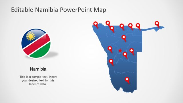
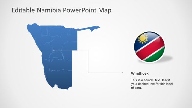
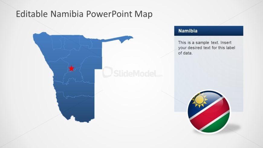
The Namibia Map with Flag and Text slide from the Namibia PowerPoint Map template offers a clear geographic visualization ideal for business presentations and regional planning discussions. This slide layout features editable shapes including a detailed map of Namibia with a highlighted location, complemented by a text box and the national flag icon, making it suitable for tourism presentations and geographic analysis using professional slide templates.
What’s on This Slide
The slide features a blue map of Namibia positioned on the left side. A red star marks a specific location within the map. To the right, there is a rectangular text box with a dark blue header labeled 'Namibia' and a placeholder for additional text below. Below the text box, a circular icon displays the flag of Namibia. The overall layout is balanced, with the map and text box clearly separated, allowing for easy readability and visual appeal. The background is light, enhancing the visibility of the map and elements.
How to Use It
This layout serves as a geographical representation of Namibia, useful for highlighting specific locations or data related to the country. It fits well in presentations focusing on geographic analysis, tourism, or regional planning. The map can be used to illustrate points in discussions about demographics, economic activities, or cultural highlights. It is particularly effective in contexts where visual geography enhances understanding, such as educational or business presentations.
Text Placeholders & Capacity
Keep your copy within these limits so it fits without resizing. Body slots can hold approximately 20-25 words each.
| Placeholder | Count | Max characters (approx.) |
|---|---|---|
| Slide title | 1 | 30 |
| Body paragraph | 1 | 120 |
| Item heading | 1 | 30 |
Slide Keywords
Download unlimited PowerPoint templates, charts and graphics for your presentations with our annual plan.
DOWNLOADReturn to Namibia PowerPoint Map.