Montserrat PowerPoint Map
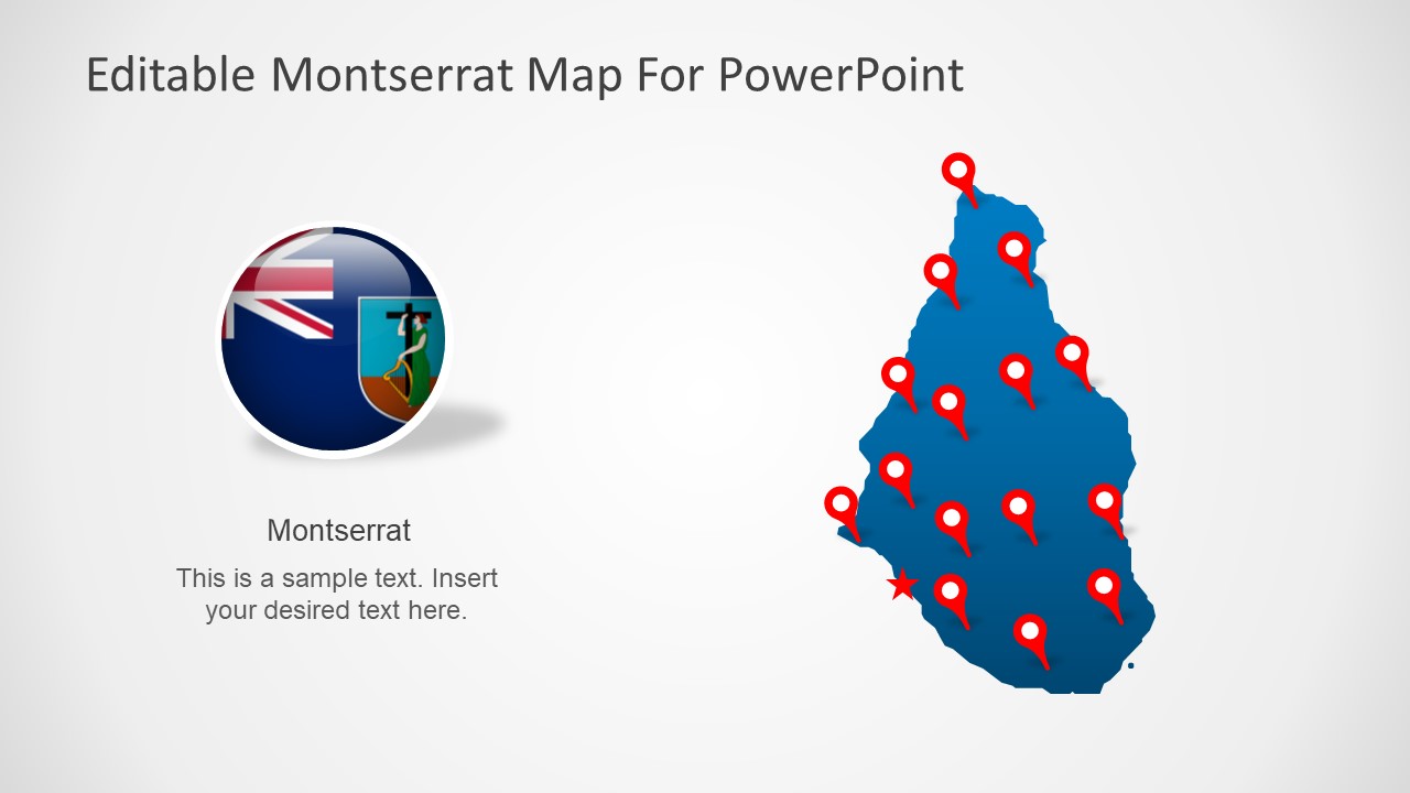
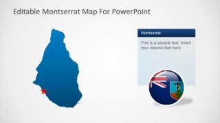
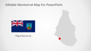
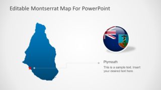
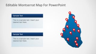
The Montserrat PowerPoint Map is an outline map presentation to present territory in Caribbean region. The map template displays silhouette PowerPoint shapes to display Montserrat Island, an overseas territory of Britain. This template of the Montserrat map basically shows a silhouette vector image outlining the Island. There are 7 slide versions of this map with various PowerPoint elements to support presentation content. These graphical elements include location pins and star shape to highlight city of Plymouth. Further slides contain text placeholders to insert useful information about presentation.
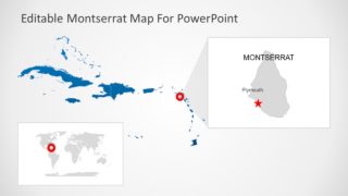
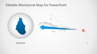
This map template of Montserrat in PowerPoint is an ideal presentation tool to demonstrate regional marketing and business opportunities. Furthermore, teachers can benefit from these presentation slides to display geographic concepts. Such as Islands of the World, Caribbean Sea, Coral reef, etc. Apart from learning and business PowerPoint, the map of Montserrat is useful in political presentations. Such as representing the region in international forums. Therefore, the map slides of Montserrat include additional layouts that highlight Island as a part of Caribbean and World.
The Montserrat PowerPoint Map is an editable set of 7 slides containing different map layouts. The users can copy desired map slide design to their existing business or academic presentations. This template provides a wide range of customization including colors, resizing, shape effects, and animations. The users can apply these changes to personalize their map PowerPoint template.
