Maine US State PowerPoint Map
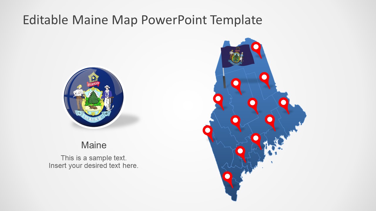
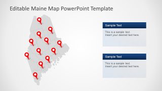
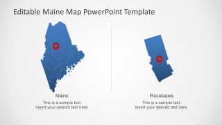
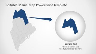
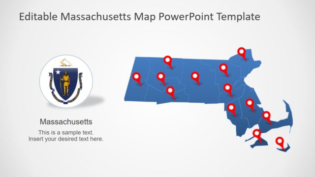
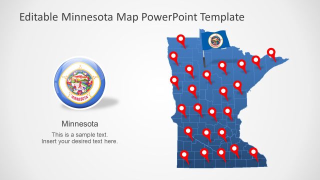
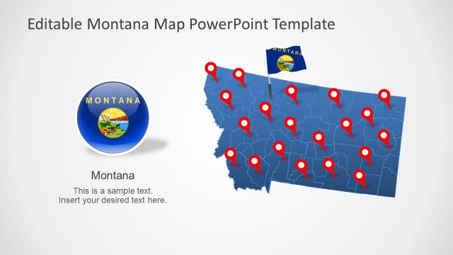
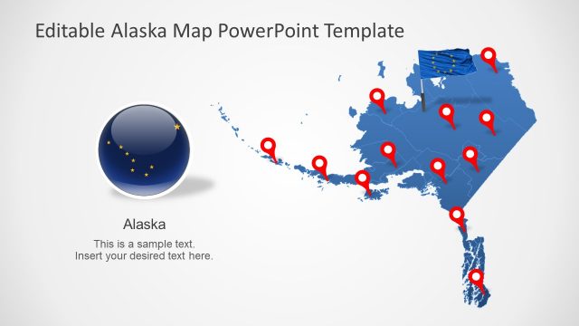
The Maine US State PowerPoint Map is an editable presentation for the geographic region in North America. Maine is one of the 50 States of America bordering Canada in the Northeastern part of the country. This US State also borders with Atlantic Ocean to the southeast and New Hampshire in southwest. The PowerPoint map templates provide flat vector-based silhouette shapes to demonstrate Maine’s geographical region. These maps are a collection of editable units for counties of Maine. The editable segments will help presenters customize the design of maps according to presentation topic.
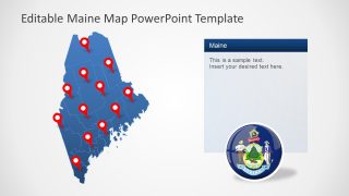
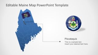
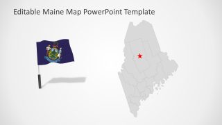
The outline map of Maine in PowerPoint is useful in all types of presentations that require regional representation. Especially during presentations on international forums or to promote tourism and local businesses. The map template could be customized to highlight major cities, populated places, rivers, lakes, and highways. The PowerPoint map includes location markers and flag icons to highlight areas or boundaries.
The Maine US State PowerPoint Map could also be used for educational purposes. In geography lessons, the map template will help display Maine’s demographic stats, historical places, culture, and economy. The users can easily change color of each county or overall color scheme using PowerPoint formatting options. You can browse through SlideModel maps catalog for a collection of US State maps and worldwide country maps.
