Kentucky US State With Counties PowerPoint Map
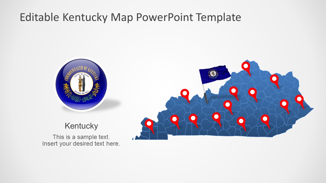
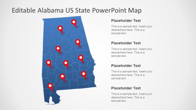
The Kentucky US State With Counties PowerPoint Map is a collection of 7 slides of editable state maps. These slides present silhouette maps for one State of the United States. It includes state outline clip art for each county of Kentucky join to present a complete geographical map. Because Kentucky is a travel destination, a south-central region of the US. Kentucky i.e. Bluegrass State borders with Virginia, Tennessee, Missouri, Illinois, Ohio, and Indiana.
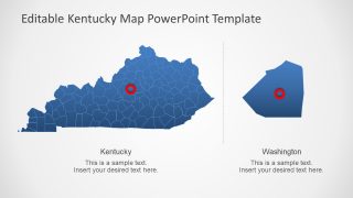
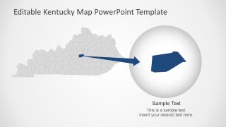
The outline map of Kentucky will assist professionals to create and present concepts involving regional aspect of this State. For example, business opportunities in Kentucky, tourism, history, demographic data analysis, etc. These maps outline counties bundle together into one State map. Therefore, users can highlight each county to discuss relevant information in detail. This map template offers two zoom-in slides for slides to focus on counties. And users can take advantage of these slides to present locations for their Kentucky presentations.
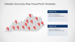
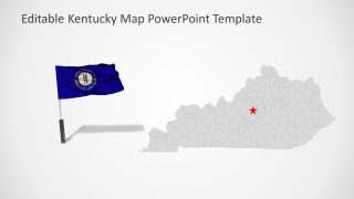
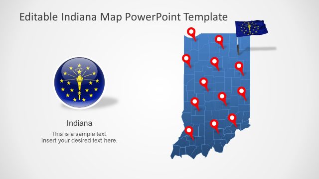
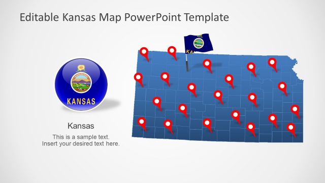
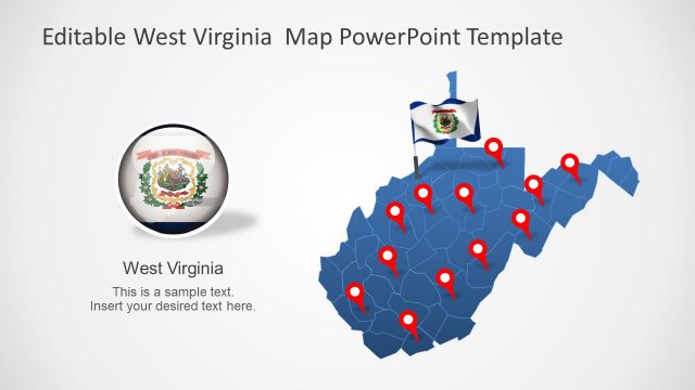
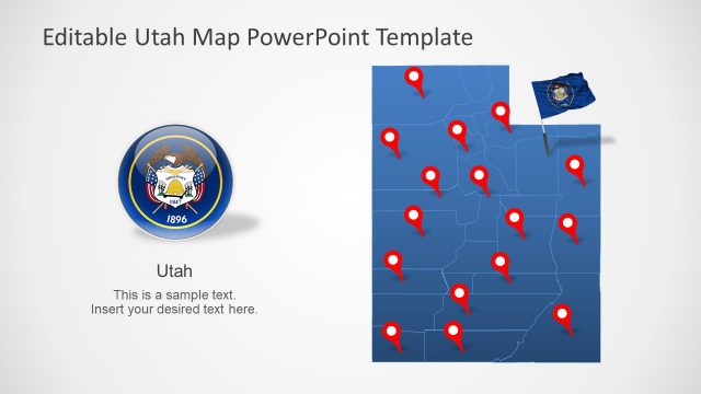
The PowerPoint map templates for Kentucky State is one of many US State maps available in SlideModel collection. These map slides could be used to present a wide range of business and social topics likewise. For instance, the flat map PowerPoint shapes could demonstrate socio-economic growth or political issues. Or, create a history fact check presentation with the help of location markers and flag clipart available in template.
The Kentucky US State With Counties PowerPoint Map enables users to personalize layout by changing colors, sizes, or editing text placeholders. Because it is a fully customizable PowerPoint Template. The users can change colors from solid fill options in formatting menu. Or, apply shape effects like gradients or 3D view.
