Indiana US State With Counties PowerPoint Map
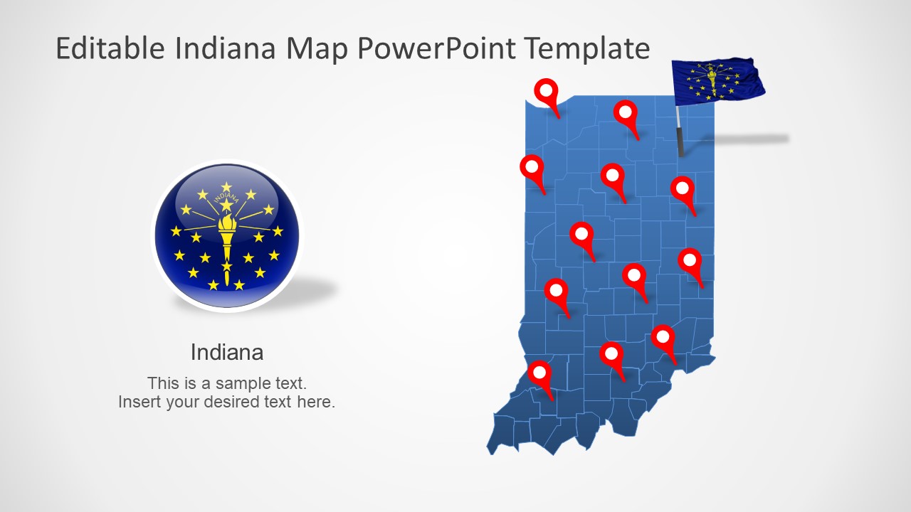
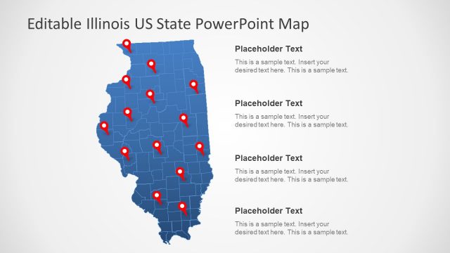
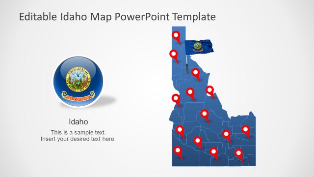
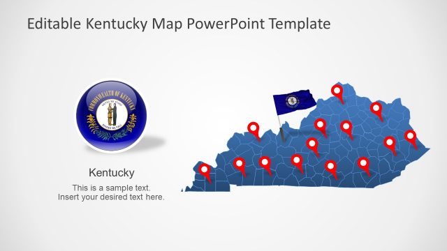
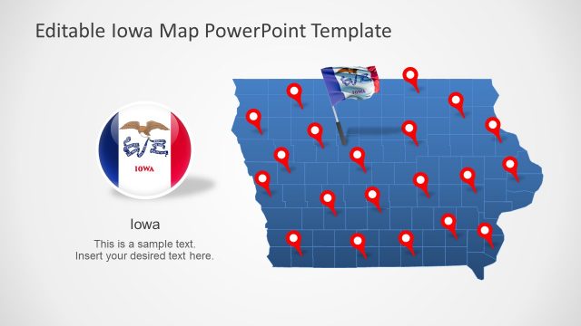
The Indiana US State With Counties PowerPoint Map is a silhouette map template. It is a collection of 7 map slides, providing creative versions of outline maps. These slides are editable layouts providing a visual aid for regional concepts involving State of Indiana. Because each map includes individual segments for all counties in Indiana State. The SlideModel catalog offers many US State presentations and a few city templates. The users can create a wide range of business, social, or educational presentations with these flat map templates. Because map of Indiana will provide a complete picture of State with high-quality silhouette segments of counties.
The PowerPoint map template of Indiana shows two map colors i.e. blue and gray. But users can easily change color fill, outlines, or gradient effects of these maps. Since Indiana US State map is an editable PowerPoint with counties. Further, users make a colorful map by applying different colors to each county. This could help present statistical data by color-coding different states.
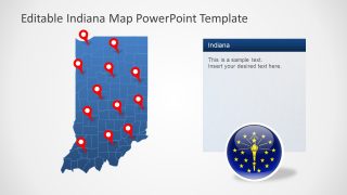
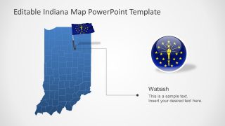
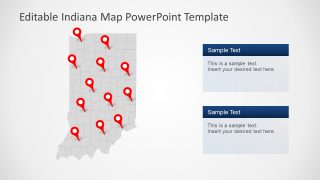
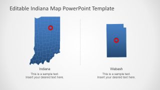
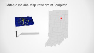
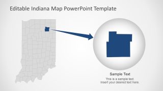
The Indiana PowerPoint map includes location pin markers and State flag clipart icons. These icons will assist user to pinpoint any location on map. Furthermore, the template of Indiana map contains two zoom-in style slides that display large county shape separately. The users can create similar slides to highlight any county or capital city of Indiana.
The Indiana US State With Counties PowerPoint Map is an ideal presentation layout for business and social research presentations. For example, discussing demographics of each county, promote tourism, or highlighting franchises.
