Editable Sudan Map PowerPoint
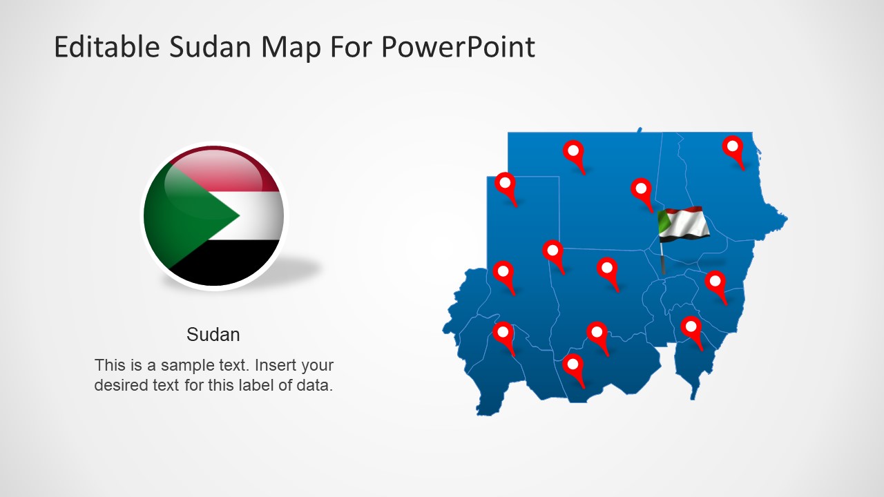
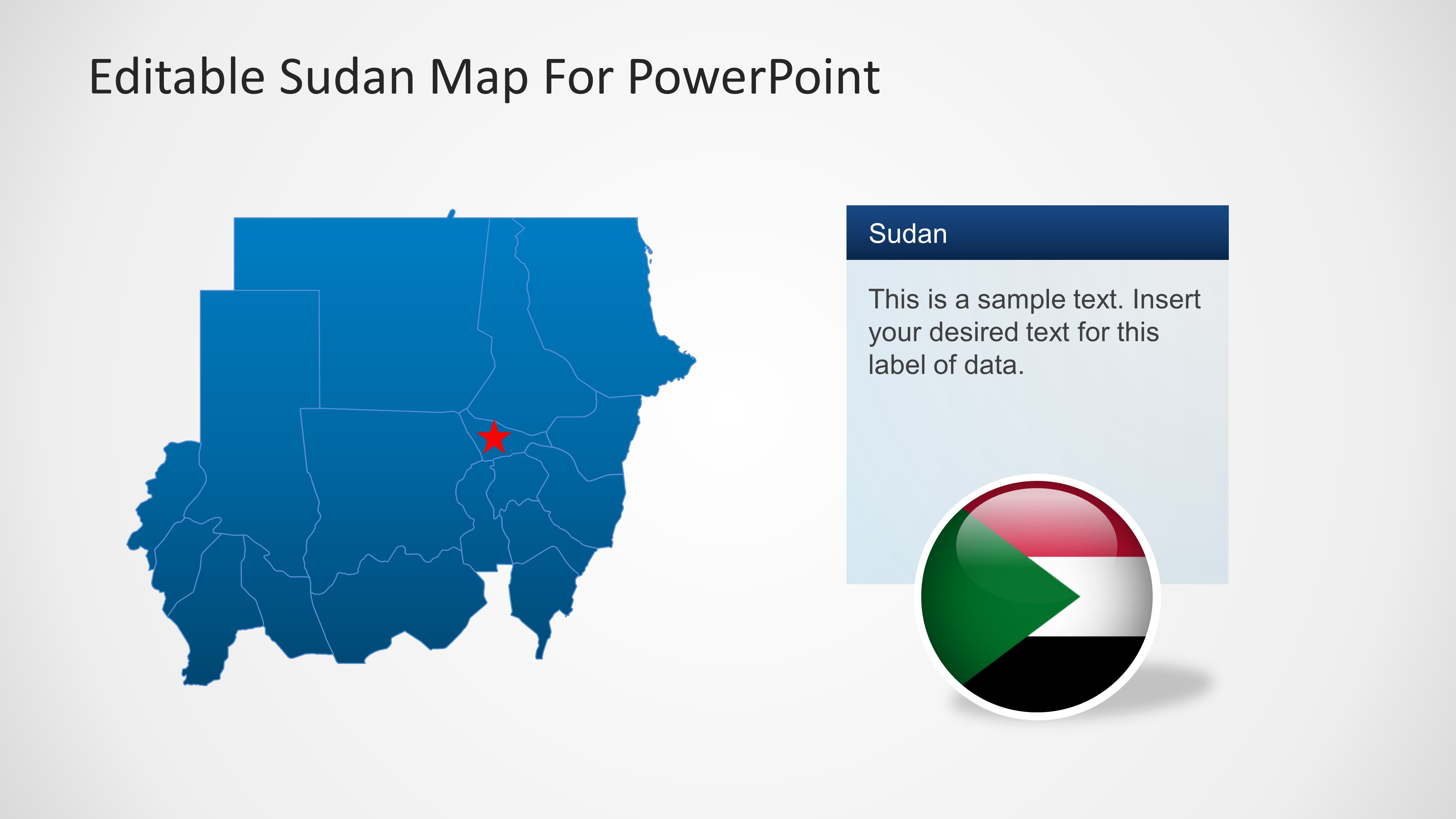
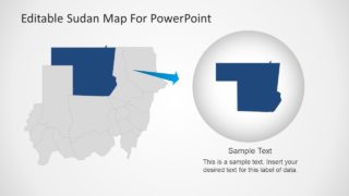
This 7-slide deck contains Editable Sudan Map PowerPoint. Sudan is the third largest and one of the most geographically diverse states in Africa. It is bordered by Egypt to the north, the Red Sea, Eritrea, and Ethiopia to the east, South Sudan to the south, the Central African Republic to the southwest, Chad to the west and Libya to the northwest.
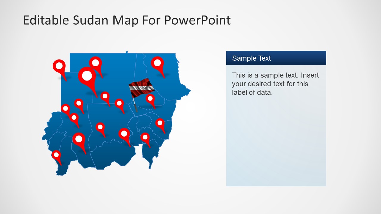
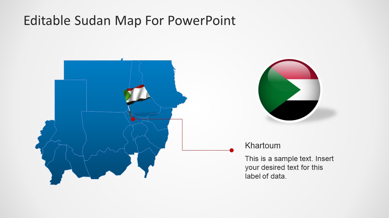
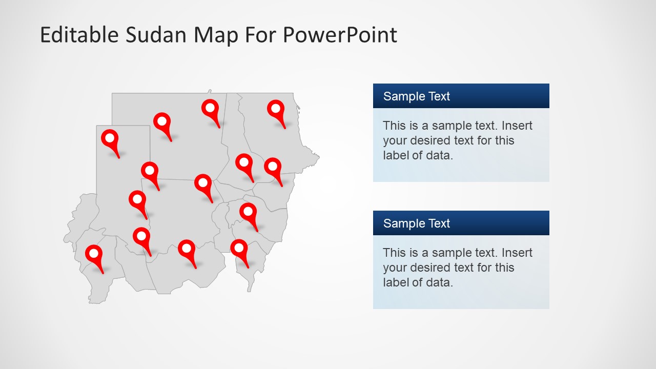
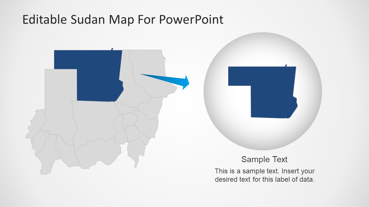
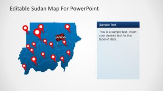
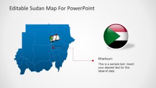
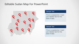
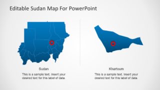
The country outline and state divisions are easy to edit. Using elements in PowerPoint the map is flexible in design. Furthermore, Sudan Map highlights the capital city of Khartoum in a few outline slides. Also, the map contains slides showing other major cities and boundaries.
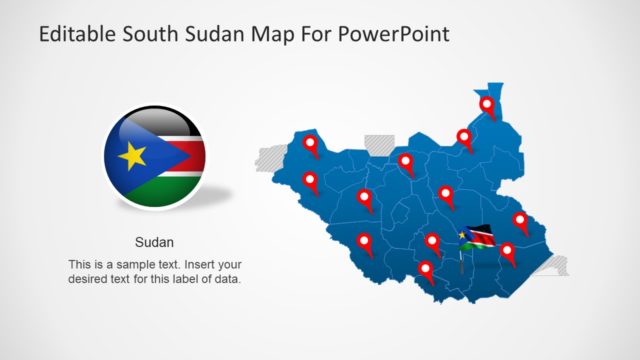
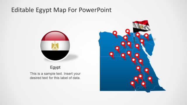
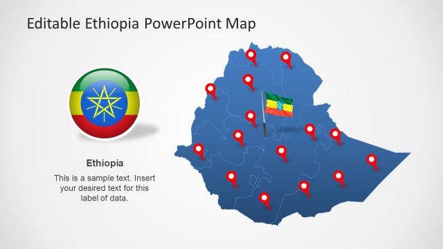
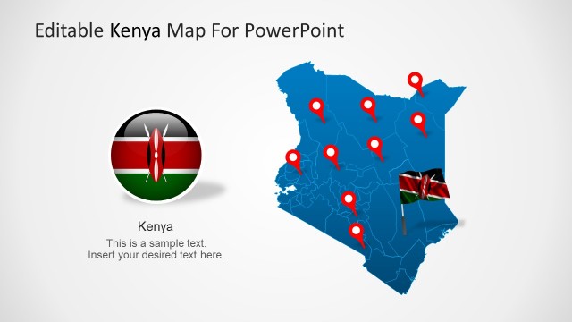
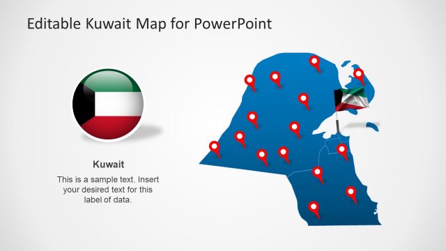
Use Editable Sudan Map PowerPoint to present statistical information about the country. While the theme includes map pins, pointers, arrows and the national flag to add an artistic touch to the PowerPoint presentation.
Also, see other Product Features and Benefits:
- Fully editable PowerPoint slides
- Wide set of layout options that are easy to edit
- Easy to change colors, shadows, fonts, text and backgrounds
- Design elements in PowerPoint are customizable
In addition, check all PowerPoint Maps that are completely editable PowerPoint shapes. The maps are vector graphics in PowerPoint. So, it will automatically apply shape formatting such as shadows, reflections, fills, lines, background and more. Hence, see more design options in PowerPoint.
