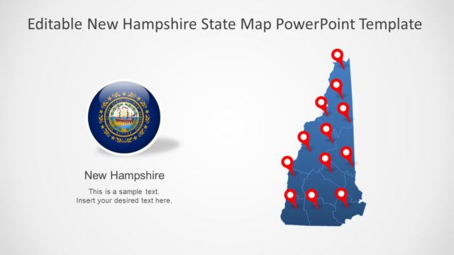
Slide 3 of 7 from Editable New Hampshire Map for PowerPoint
Silhouette Map of New Hampshire PPT
Editable New Hampshire Map for PowerPoint
- Map
- State Map
- Context Slide
- 16:9
- 100% Editable
What’s on This Slide
The slide features a New Hampshire state map positioned on the left side, colored in blue. A red star marks the location of Concord, which is indicated by a black dot and a connecting line. To the right, there is a circular emblem representing the state seal. Below the emblem, there are text placeholders for the city name and additional information, aligned to the right. The background is light gray, creating contrast with the map and emblem. The overall layout is balanced, with clear visual hierarchy emphasizing the map and location.
How to Use It
This layout serves as a geographic representation of New Hampshire, highlighting a specific location. It fits well in presentations discussing state demographics, tourism, or regional planning. This slide can be used to introduce a discussion about Concord or to provide context for a project related to New Hampshire. It is suitable for business meetings, educational presentations, or governmental briefings where geographical data is relevant.
Text Placeholders & Capacity
Keep your copy within these limits so it fits without resizing. Text slots can accommodate brief labels and descriptions.
| Placeholder | Count | Max characters (approx.) |
|---|---|---|
| Item heading | 1 | 20 |
| Item body | 1 | 50 |
Slide Keywords
Download unlimited PowerPoint templates, charts and graphics for your presentations with our annual plan.
DOWNLOADReturn to Editable New Hampshire Map for PowerPoint.