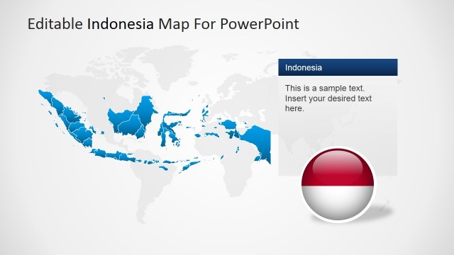
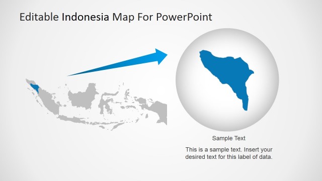
Indonesia Located in the World Map
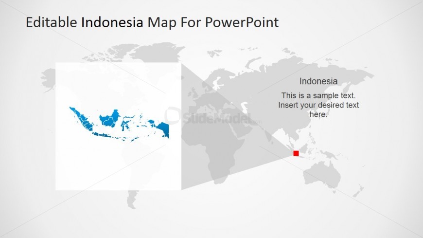
Indonesia Located in the World Map, is featured on this PowerPoint slide. It can be used to provide the professional audience with the basic information regarding the country, beginning with its geographical location. The slide design can also be utilized as a way for the presenter to show different facts about the country to a group of international investors.
The presentation background contains a world map in gray. The region representing Indonesia is marked by a red square. From this is a gray triangular shape that signifies the magnification of the image. This is accompanied by a larger version of the Indonesian map inside a white-filled box. Other information can be inserted in the text placeholder on the right side of the slide design. The PowerPoint objects are 100% editable, and can be customized to the presenter’s specifications.
Return to Editable Indonesia PowerPoint Map.