Antigua and Barbuda Map PowerPoint Template
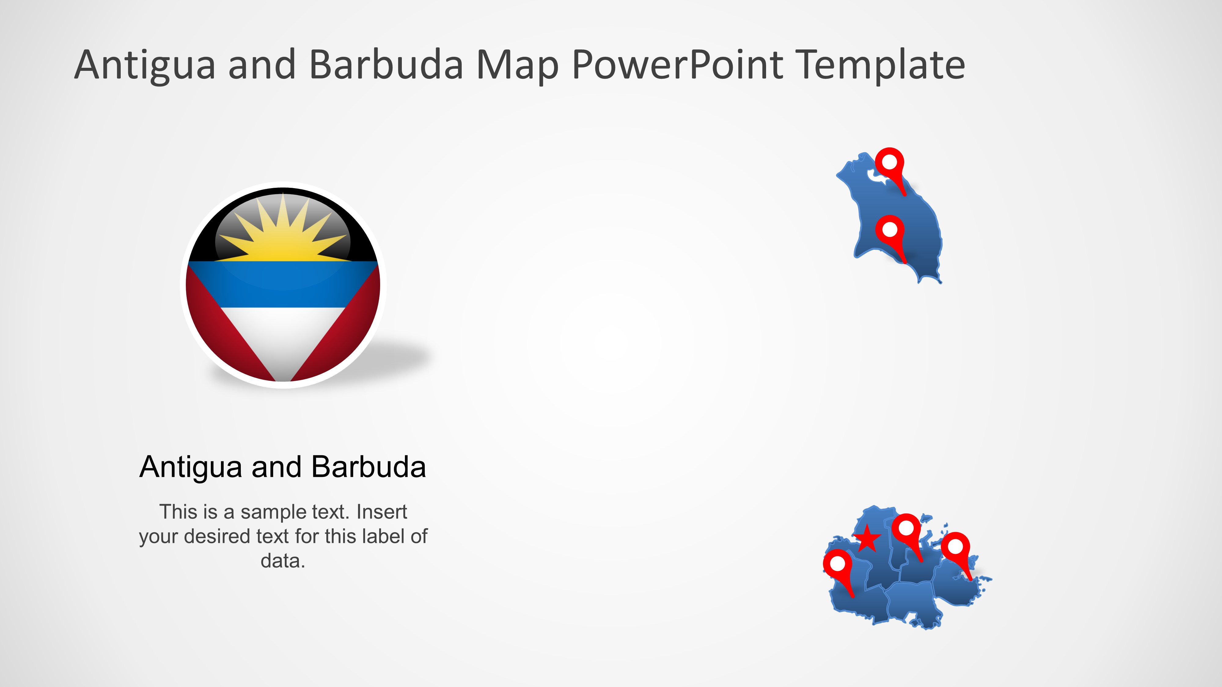
Antigua and Barbuda is a country located in the West Indies in the Americas, between the Caribbean Sea and the Atlantic Ocean.
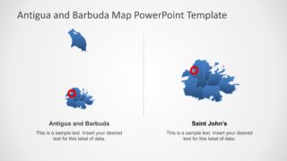
It consists of two major islands, Antigua and Barbuda, and a number of smaller islands.
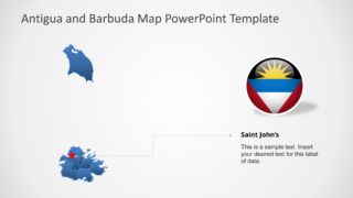
The capital and largest port and city is St. John’s on Antigua.
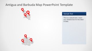
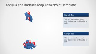
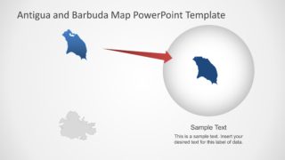
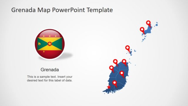
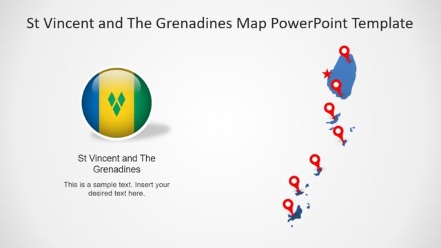
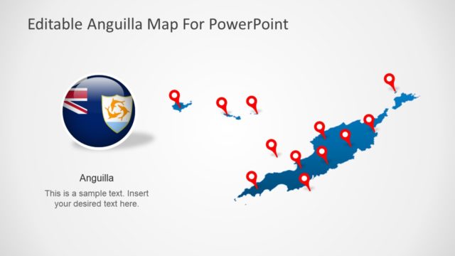
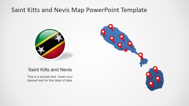
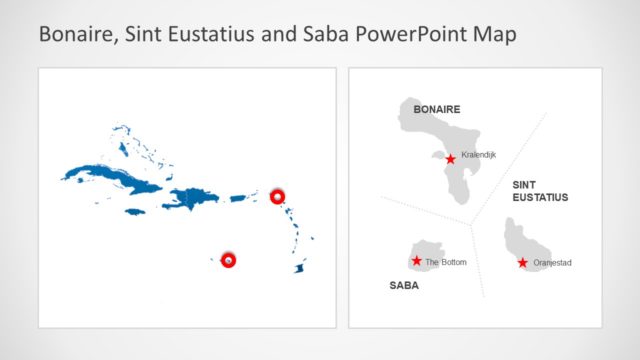
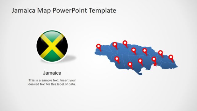
The Editable Antigua and Barbuda Map PowerPoint Template presents 8 slide designs for Caribbean islands. Antigua and Barbuda appear together as twin island nations that are situated between Atlantic Ocean and Caribbean Sea. This PowerPoint template of islands is a collection of silhouette maps to present wide range of regional concepts. For example, country’s demographics, statistical surveys, political representation, business, tourism and much more. This map template of Antigua and Barbuda shows editable perishes with the help of location pins. SlideModel maps catalog contains a wide range of country maps including Islands of Caribbean. Such as, Editable Saint Kitts and Nevis Map and Dominica Map PowerPoint Template.
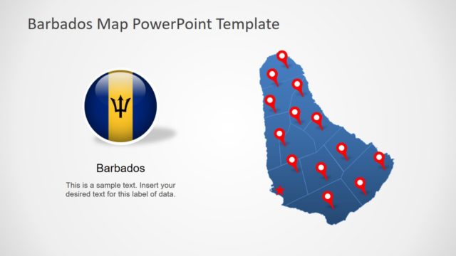
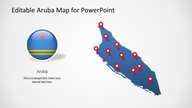
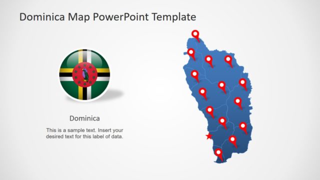
This map template of Antigua and Barbuda shows 8 slides of blue and gray color theme. There are different map versions of gray and blue silhouette PowerPoint shapes. However, the editable PowerPoint enables users to customize these maps with different color fills. Furthermore, the slides include location markers and flag clipart icons to represent nation on international forums. These vector maps are suitable presentation layouts to create location bases sales and marketing presentations.
The location maps of Antigua and Barbuda is also a helpful slide tool for educational purposes. Because teachers can use these maps to explain geographic location of islands. The Editable Antigua and Barbuda PowerPoint Template help make an attractive presentation. The users can apply animations and shape effects including 3D for a compelling professional presentation.
