Slide 26 of 32 from #2 Editable Data Driven Maps Bundle
Country Maps Bundle in PowerPoint
Country Map Section Slide
- Text Layout
- Single Statement
- Context Slide
- 16:9
- 100% Editable
The Country Map Section slide from the #2 Editable Data Driven Maps Bundle offers a clear layout ideal for introducing geographic topics or transitioning between sections in a business presentation. Featuring editable slides with placeholders for country-specific data, it supports effective visualization of demographic or market analysis within a professional slide deck.
What’s on This Slide
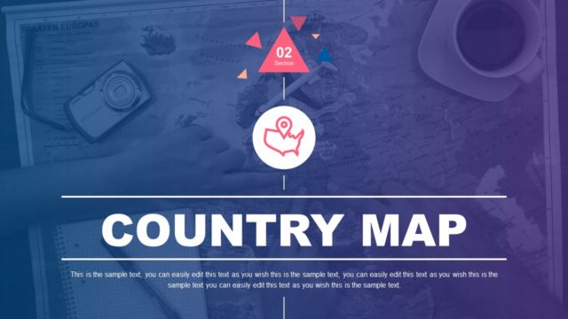
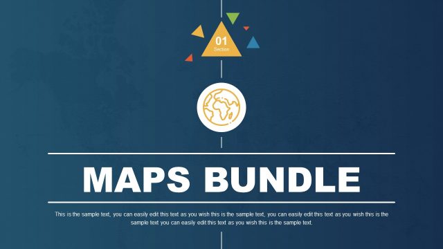
The slide features a dark blue background with a large, centered title reading 'COUNTRY MAP' in bold white letters. Above the title, there is a circular icon depicting a map pin, which is colored in yellow. Above the icon, a triangular section number '02' is displayed in a yellow triangle, flanked by smaller colored triangles in green and red. Below the title, there are text placeholders aligned centrally, allowing for editable content. The overall layout emphasizes the title and section number, creating a clear visual hierarchy.
How to Use It
This layout serves as a section divider, introducing a new topic related to country maps. It fits well in a presentation sequence that discusses geographic data or demographic analysis. This structure is useful for presenting country-specific information, such as population statistics or geographic insights. It can be applied in business scenarios where geographic data visualization is essential, such as market analysis or regional performance reviews.
Text Placeholders & Capacity
Keep your copy within these limits so it fits without resizing. Body slots can accommodate roughly 30-40 words each.
| Placeholder | Count | Max characters (approx.) |
|---|---|---|
| Slide title | 1 | 20 |
| Body paragraph | 1 | 250 |
| Section number | 1 | 2 |
Slide Keywords
Download unlimited PowerPoint templates, charts and graphics for your presentations with our annual plan.
DOWNLOADReturn to #2 Editable Data Driven Maps Bundle.