Mississippi State US PowerPoint Map
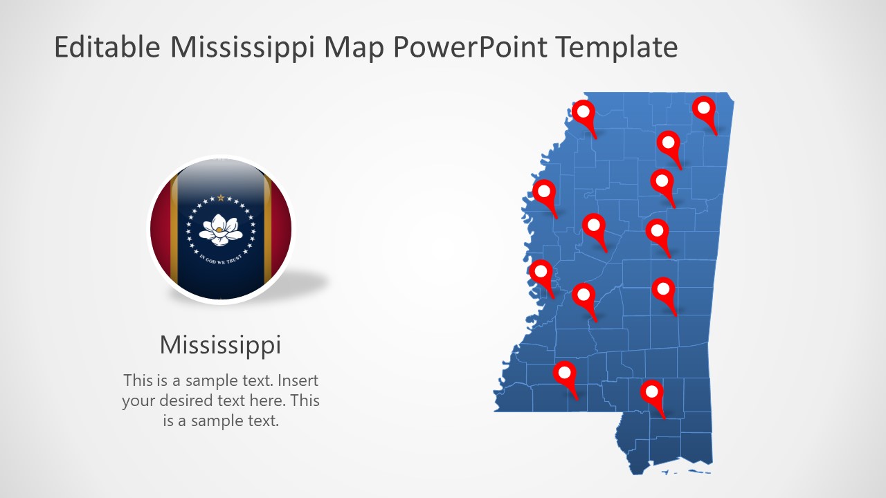
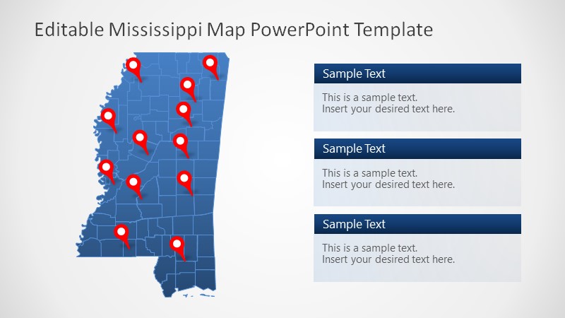
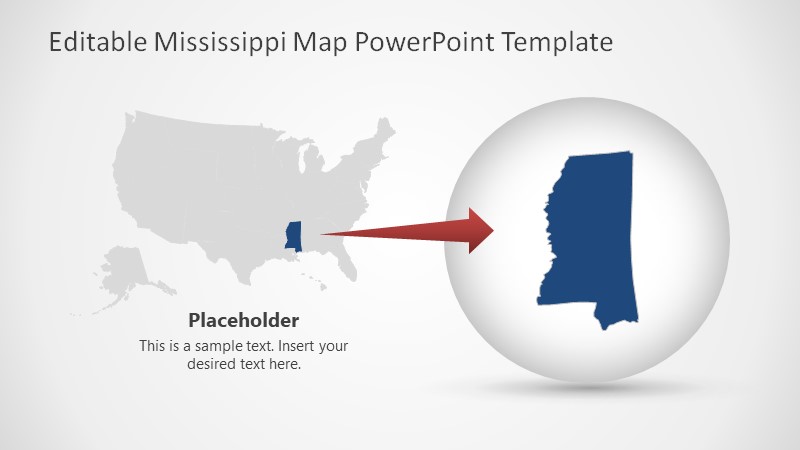
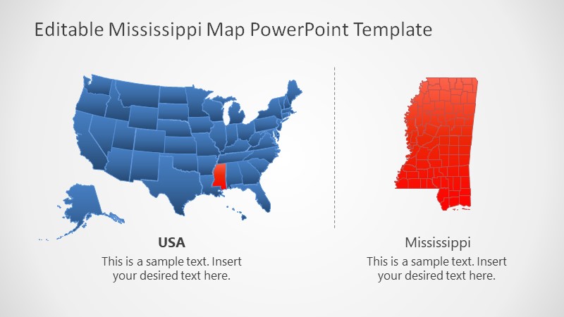
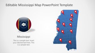
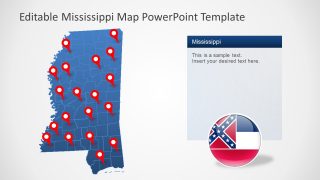
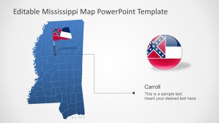
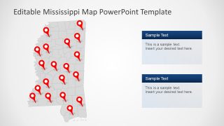
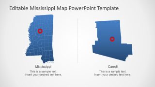
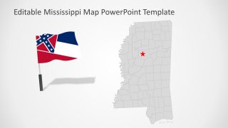
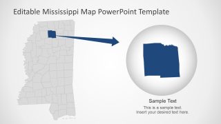
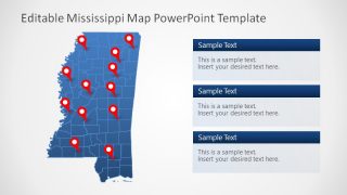
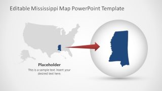
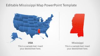
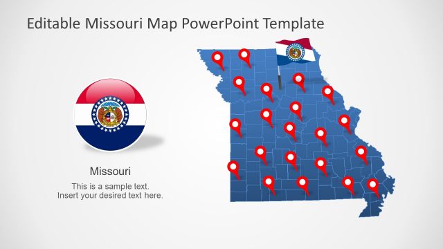
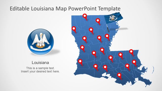
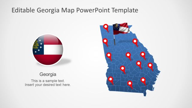
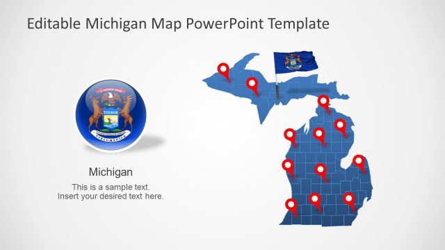
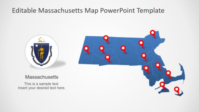
The Mississippi State US PowerPoint Map presents outline templates of Mississippi counties. The PowerPoint templates of Mississippi maps contain 7 variations of design. These include gray and blue silhouette maps with outlined counties, flags and location markers. There are two slides of county and capital city regions depicting zoom-in feature. These slides could be used to create more focused county and city slides of Mississippi State. For example, display health, educational, or political stats of Carroll using map as a geographical reference.
Mississippi shares its borders with Tennessee, Alabama, Louisiana, Arkansas, and Golf of Mexico. This state has 82 counties and capital city is Jackson. It is known for its petroleum and natural gas reserves.
The Mississippi State US PowerPoint Map gives users a flexibility to choose from desired templates. Each county in Mississippi map is an editable unit. The colors and sizes of these vector-based units could be changes to create an appealing visual of region. These counties of the US State map will help examine all parts of the state. By adding colors, you can showcase statistical data or reports.
The editable map templates of US state are flat silhouette maps that can be customized to fit any presentation type. Such as geographical or environmental lectures, marketing surveys, to administrative presentations like municipality or transportation.
