State of Israel PowerPoint Map
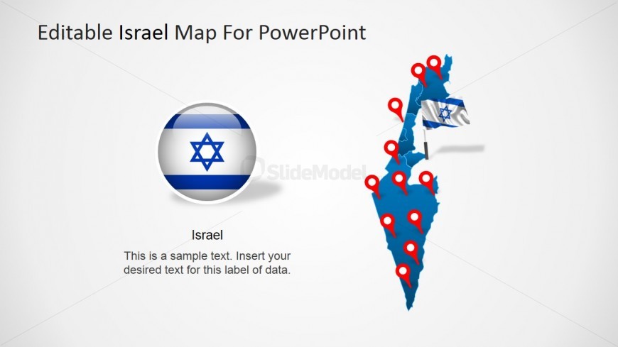
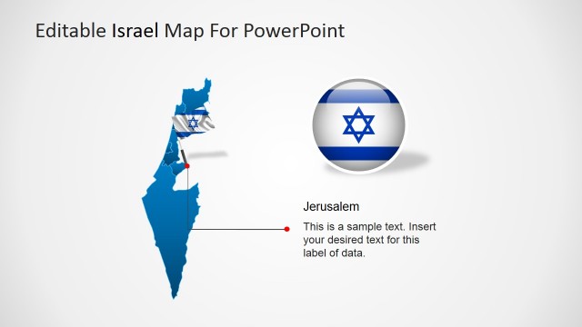
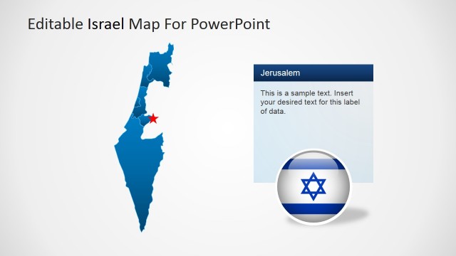
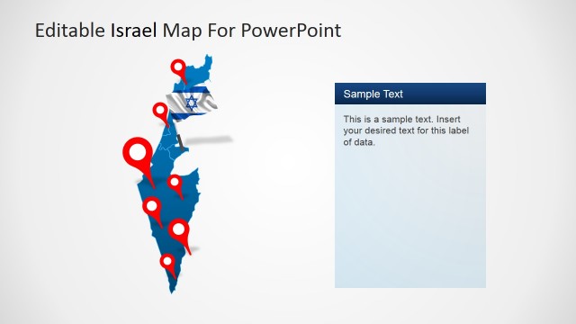
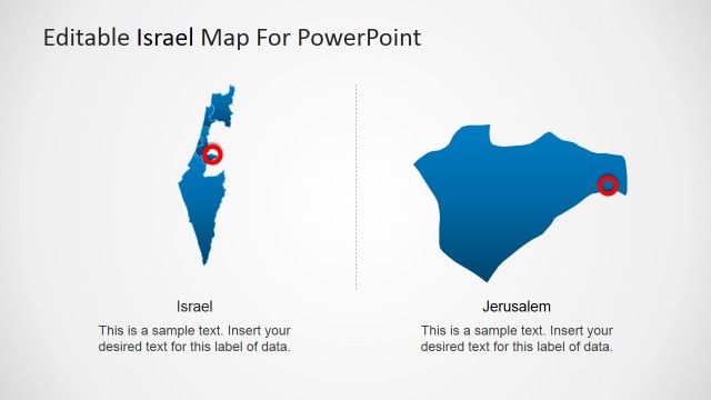
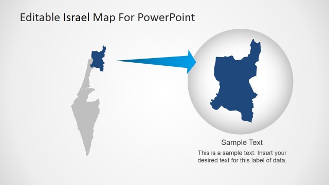
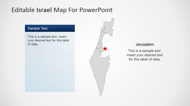
This slide provides a complete political outline PowerPoint Map of the State of Israel. The Map is created using PowerPoint objects, allowing the presenter to customize and edit every property of the PowerPoint Shapes. This slide provides GPS Marker Icons that can be placed in every section of the Map for localization, or for marking a specific city. A Israel Clipart Flag is provided in the form of 3D Icon, ideal for signaling the country national symbol.
Impress your audience with this Professional PowerPoint Template Map of Israel.
Return to Map of Israel for PowerPoint.
Activate your subscription
Download unlimited PowerPoint templates, charts and graphics for your presentations with our annual plan.
DOWNLOADSlide Tags:
3D David Editable Flag GPS Icon Individual Israel Map Marker Outline Political Star States Textbox
Supported Versions:
PowerPoint 2007PowerPoint 2010PowerPoint 2013PowerPoint 2011 MacKeynotePowerPoint 2016PowerPoint 2016 MacOffice 365Google Slides
Return to Map of Israel for PowerPoint.
