Slide 1 of 8 from Editable Syria Map PowerPoint Template
Syria Map PowerPoint
Editable Syria Map PowerPoint Template
- Map
- Country Map
- Context Slide
- 16:9
- 100% Editable
What’s on This Slide
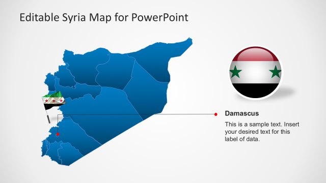
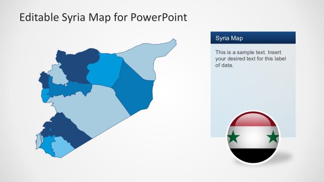
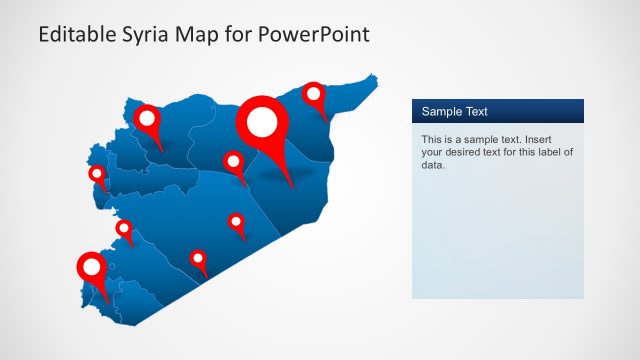
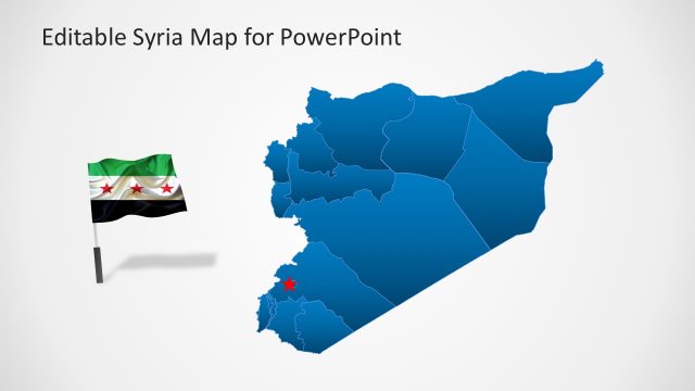
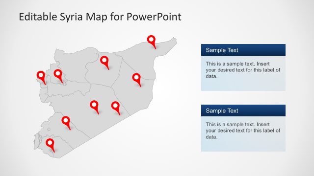
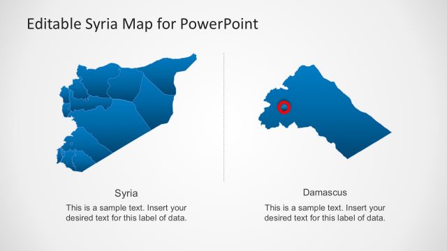
The slide features a map of Syria in blue, positioned centrally. Red location markers are scattered across the map, indicating various points of interest. To the left, there is a circular icon displaying the Syrian flag. Below the flag icon, there is a text placeholder labeled 'Syria,' aligned centrally. Another text placeholder is present beneath it, indicating sample text for additional data. The background is light gray, enhancing the visibility of the map and icons. The overall layout is structured to emphasize the map and its markers.
How to Use It
This layout serves as a geographic representation of Syria, suitable for presentations focusing on regional data or analysis. It fits well in a sequence that introduces geographical context or highlights specific locations within Syria. This structure can be used in business scenarios such as market analysis, regional planning, or educational purposes related to geography. It allows for customization of location markers and accompanying text to convey specific information effectively.
Text Placeholders & Capacity
Keep your copy within these limits so it fits without resizing. Text slots can accommodate concise information, roughly 5-10 words each.
| Placeholder | Count | Max characters (approx.) |
|---|---|---|
| Item heading | 1 | 30 |
| Item body | 1 | 100 |
Slide Keywords
Download unlimited PowerPoint templates, charts and graphics for your presentations with our annual plan.
DOWNLOADReturn to Editable Syria Map PowerPoint Template.