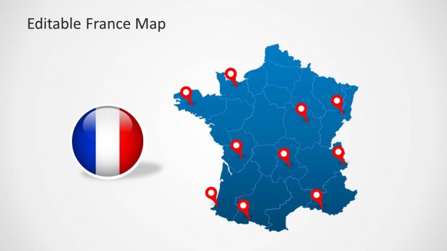
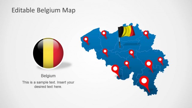
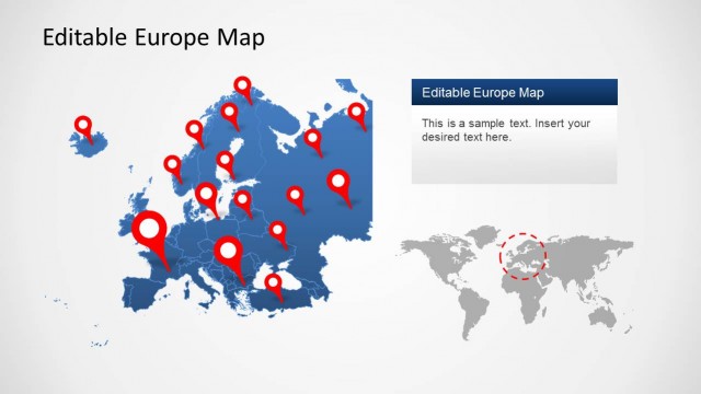
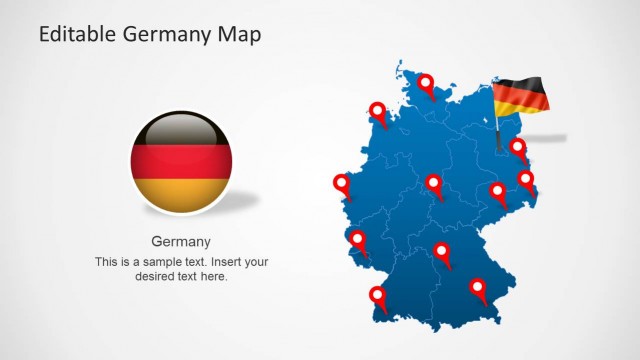
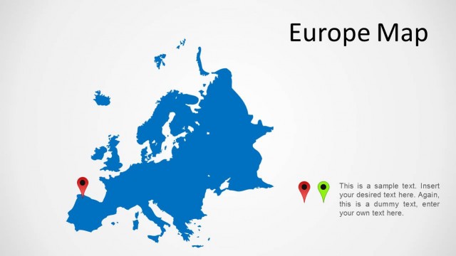
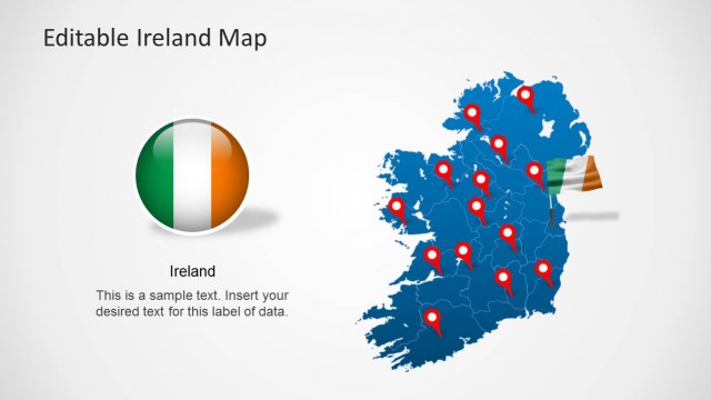
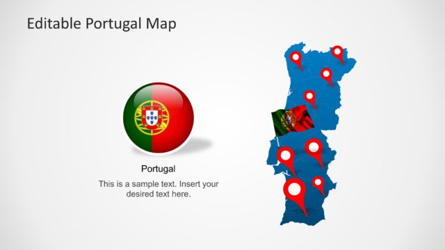
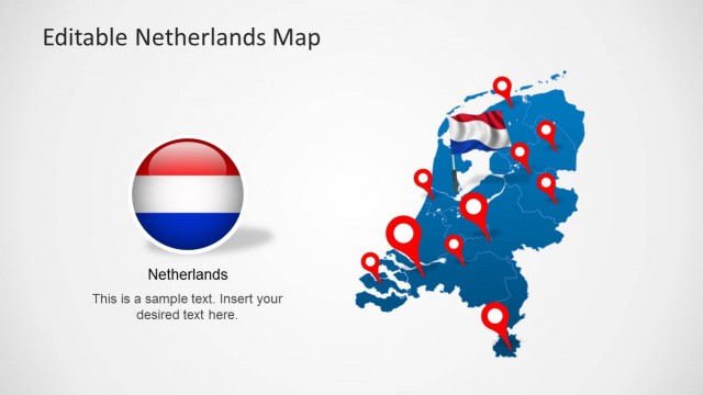
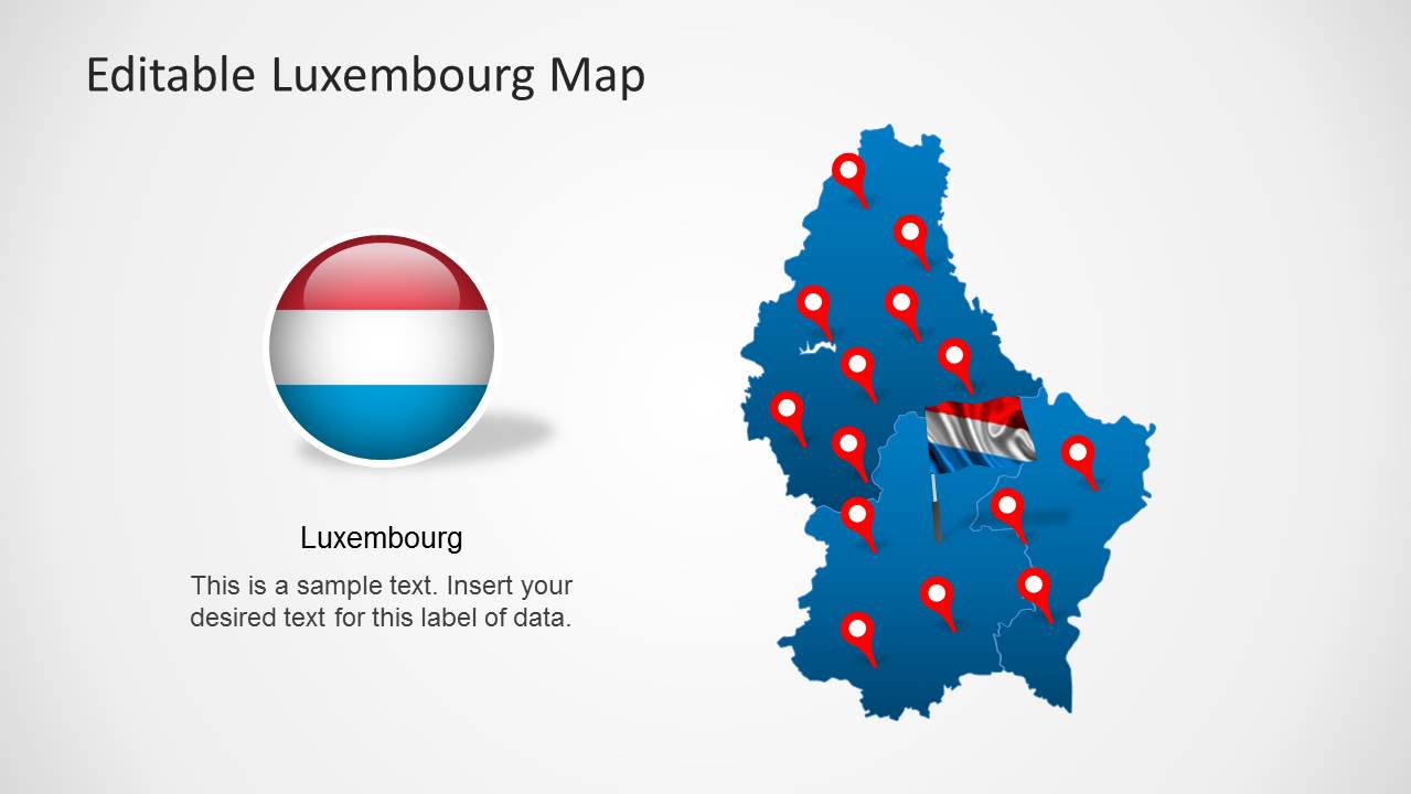
The Editable Luxembourg Map Template for PowerPoint is a comprehensive slide set for making presentations with customizable map of Luxembourg.
Whether you require highlighting the entire map of the country or wish to showcase precise regions like Oesling or Gutland, you can use this template to get the job done.
The template comprises of various main maps in the given sample slides, as well as sub-maps for different parts of Luxembourg that can be extracted from the main maps.
What’s inside this template
Example presentation scenarios
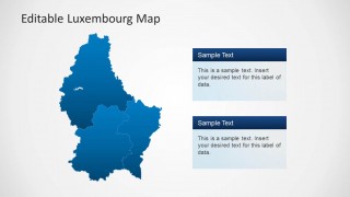
- A regional sales manager can present Luxembourg territory coverage by using the blue regional highlight map and the stacked note boxes to separate priority areas from supporting details.
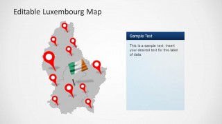
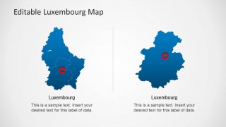
- A logistics or operations presenter can explain facility, route, or service locations with the red location pin maps and callout line layout.
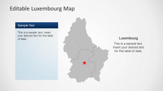
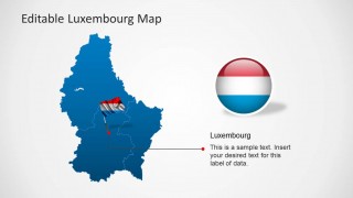
- A consultant can introduce a Luxembourg market assessment by starting with the flag badge map and then moving to the gray boundary map for regional context.
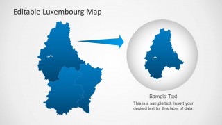
- An educator or public sector presenter can show the relationship between the whole country and a selected area using the two-map comparison slide or the circular zoom map.
Features
- 100% editable presentation template
- Compatible with Microsoft PowerPoint and Google Slides
- Scalable vector shapes, icons and illustrations
- AI-Ready for Microsoft Copilot and Claude
- Instant access and download
Frequently asked questions
Q: How should a presenter organize a short Luxembourg map briefing with this template?
A: Start with the whole-country map and flag badge to orient the audience, then use the regional highlight or gray boundary map to narrow the discussion. Reserve the pin map for specific sites and the zoom layout for the most important area. This order moves from context to detail without overloading the audience.
Q: Who is this template best suited for?
A: This template fits presenters who need to explain where something happens in Luxembourg rather than prove a data trend. Sales managers, consultants, public sector teams, educators, and logistics planners can use the location pins, regional fills, and map comparison slides to make geographic coverage or site decisions easier to understand.
Q: Why do the flag badges, pins, and zoom circle help the message?
A: The flag badge establishes the country context immediately, while red pins and target circles tell the audience exactly where to look. The circular zoom metaphor on the final slide works well for shifting from national overview to local focus, which is useful when one region or project site deserves more explanation.


Editable Luxembourg Map Template for PowerPoint
8-slide PowerPoint map template for Luxembourg regions, pins, flag markers, and geographic callouts
The Editable Luxembourg Map Template for PowerPoint is an 8-slide map deck with Luxembourg outline maps, location pin maps, regional highlight maps, gray boundary maps, and comparison or zoom layouts. It is built for presenters explaining territories, sites, regions, or country context using editable PowerPoint map shapes and vector icons.


 Loading...
 Microsoft PowerPoint
  Microsoft Copilot
  Claude for PowerPoint
 Other formats supported
Subscribe today and get immediate
access to download our PowerPoint templates.