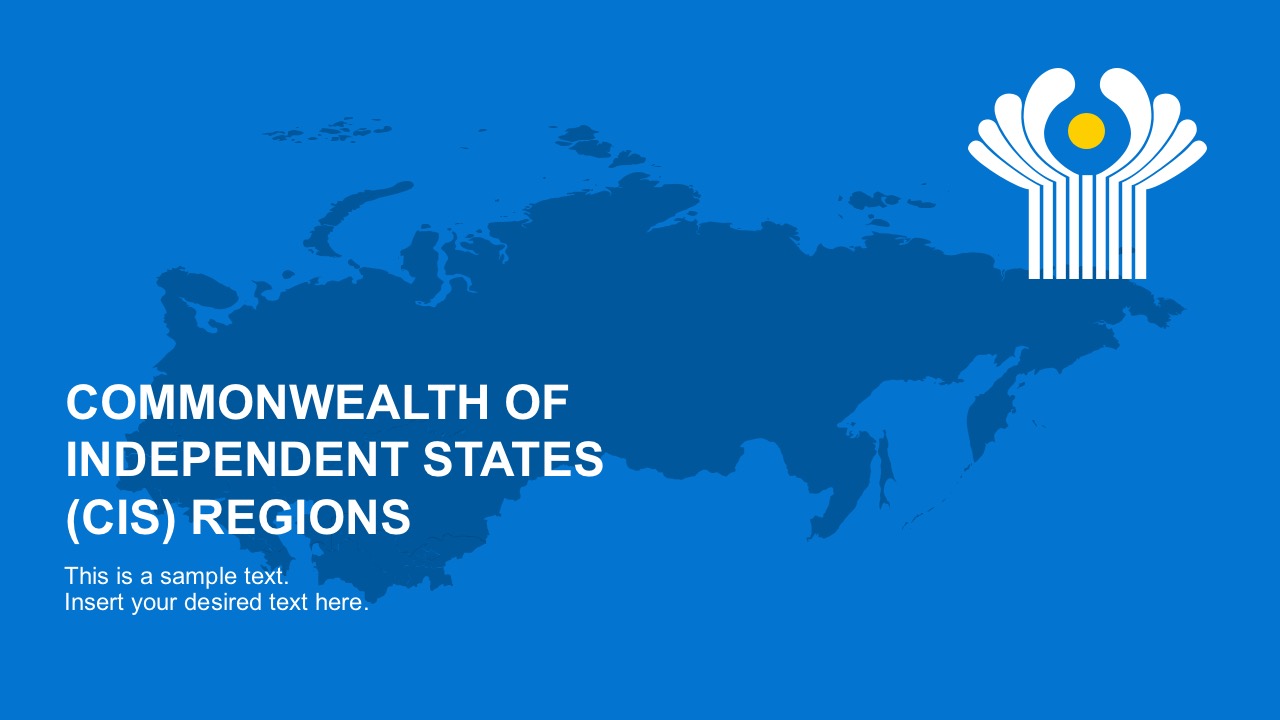
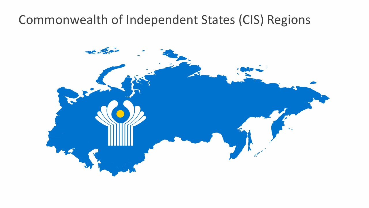
Commonwealth of Independent States PowerPoint Template
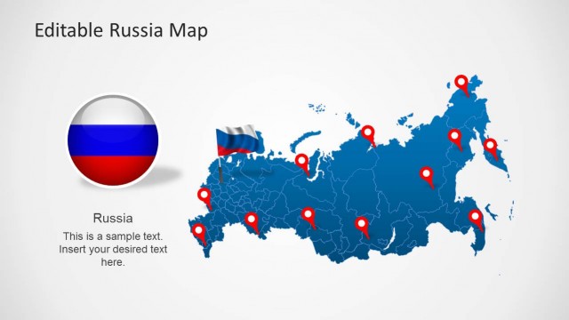
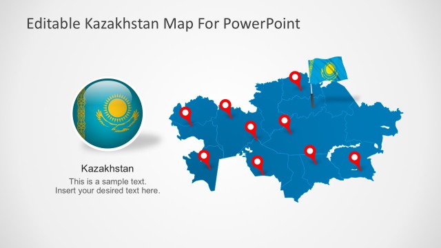
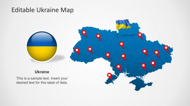
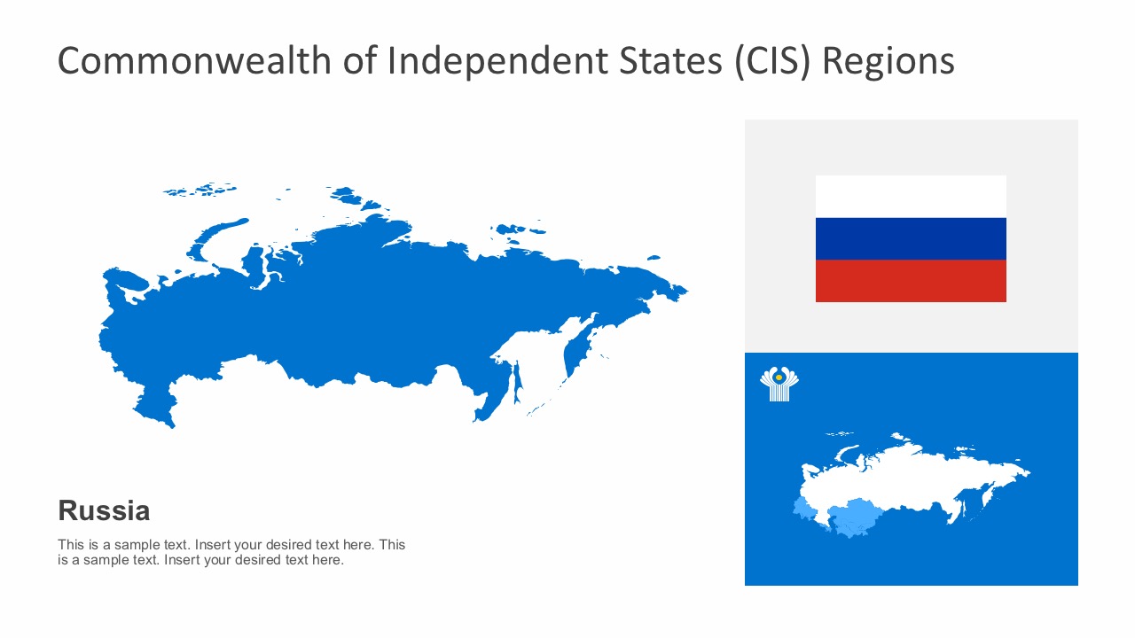
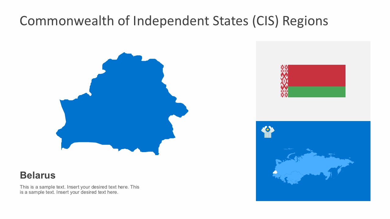
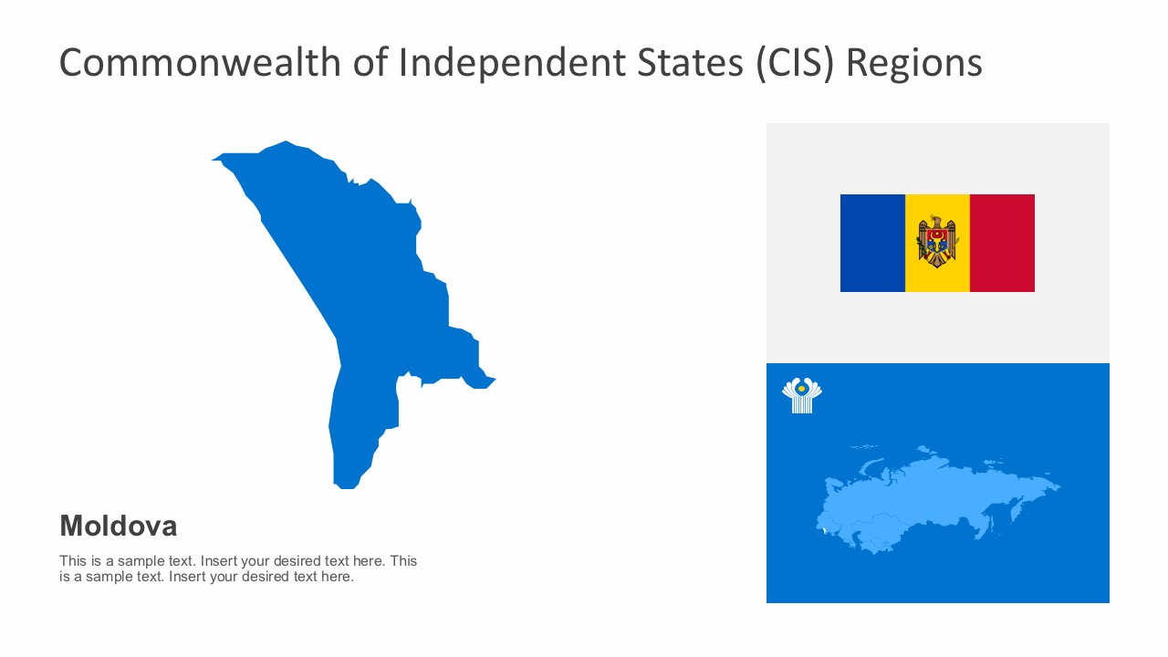
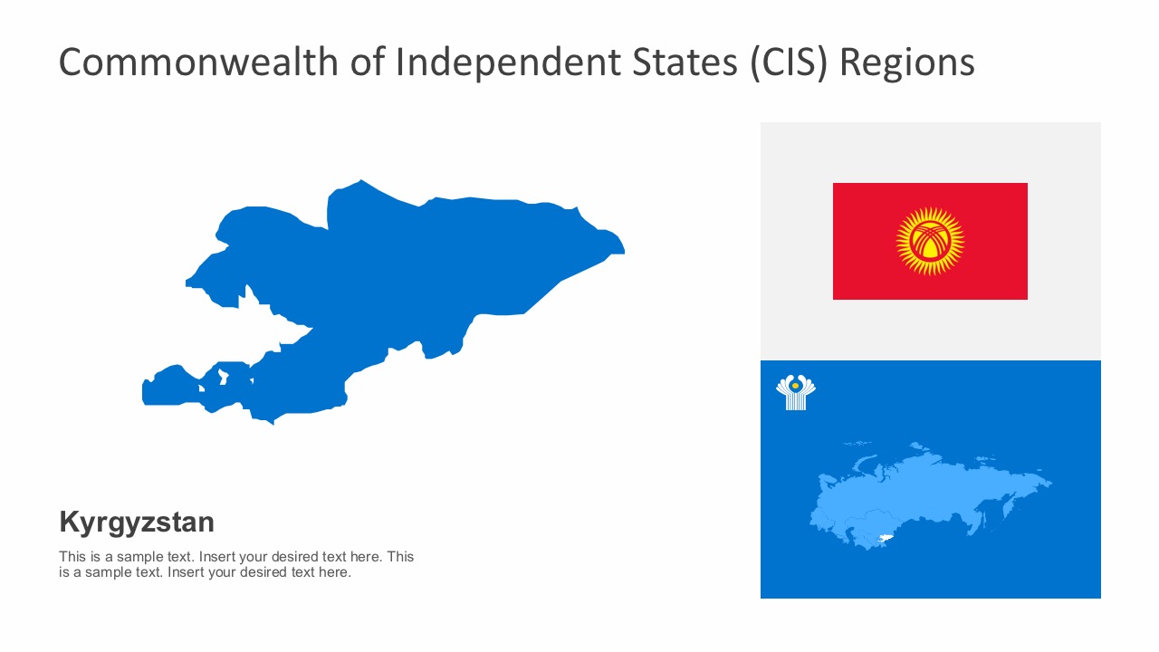
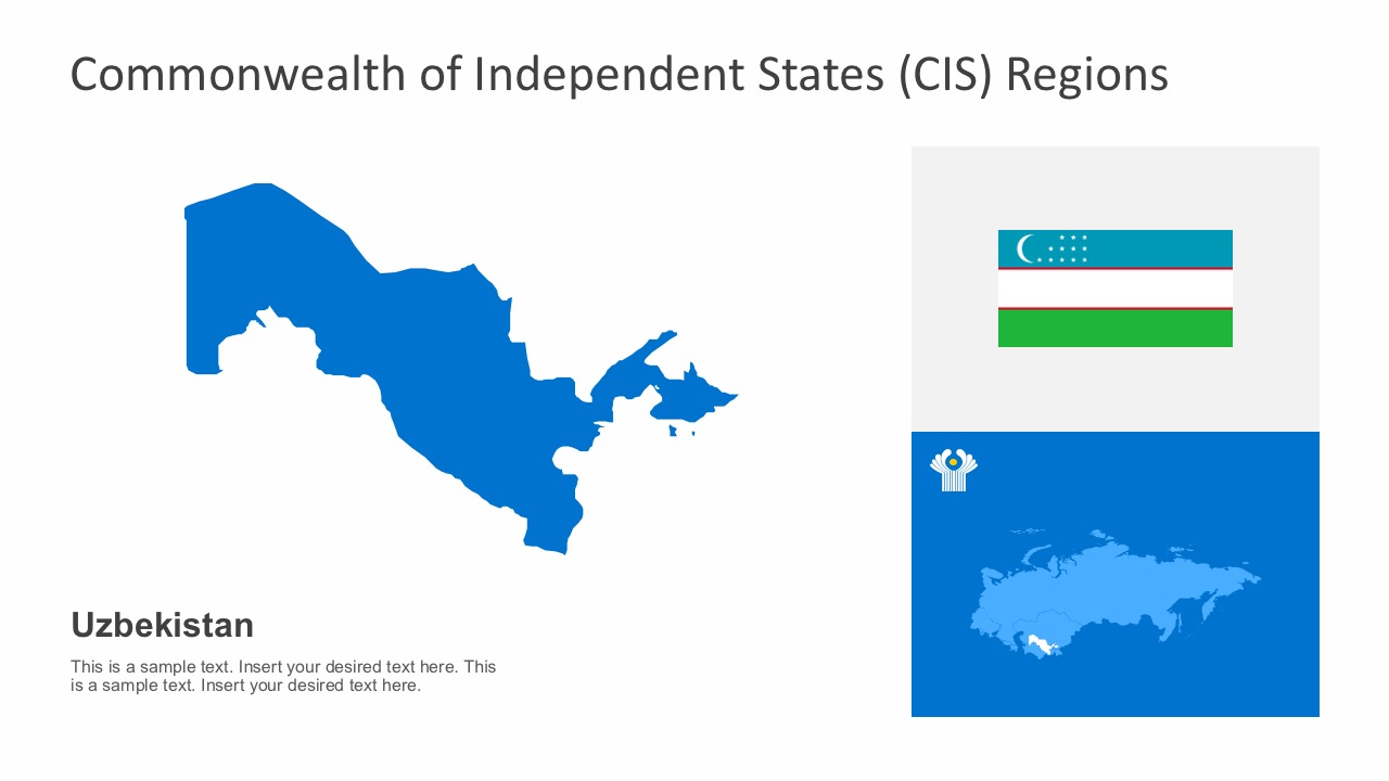
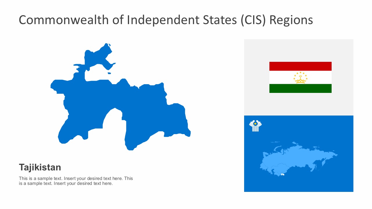
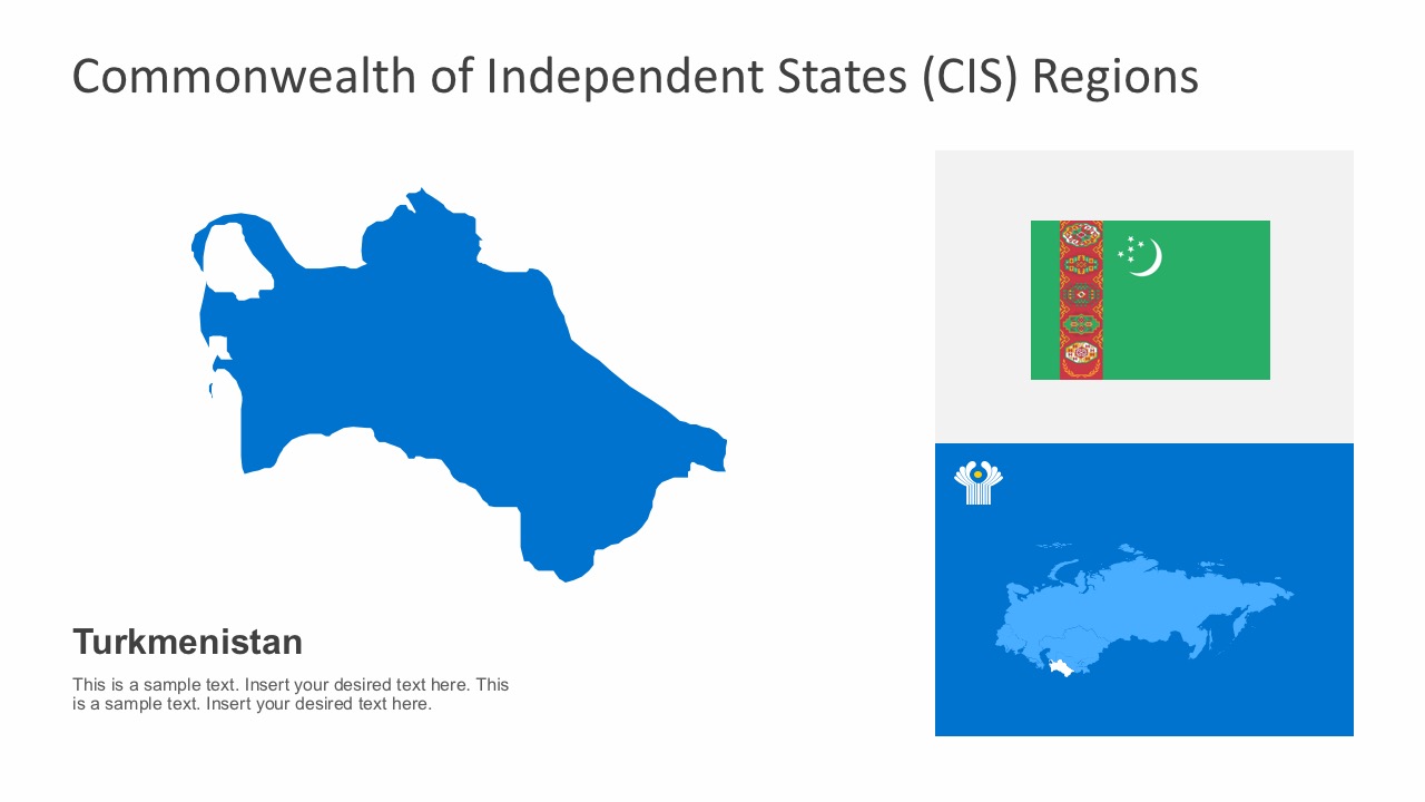
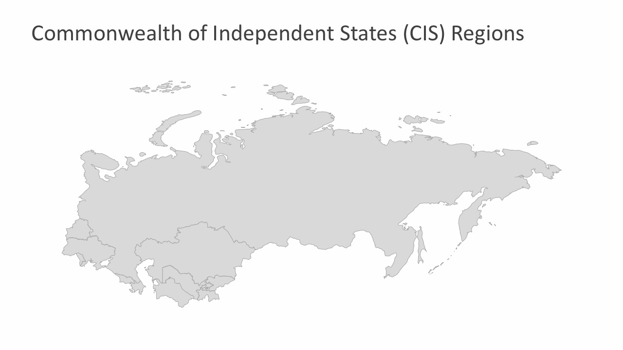
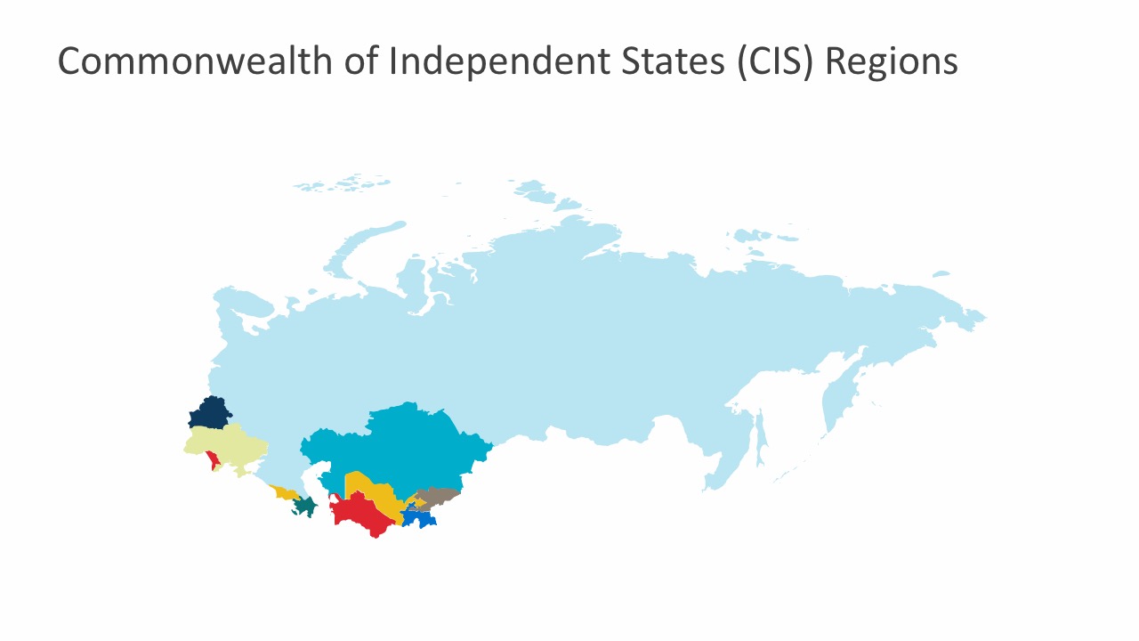
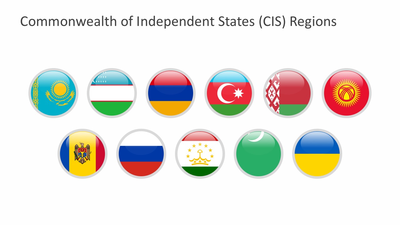
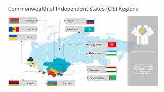
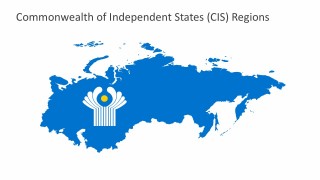
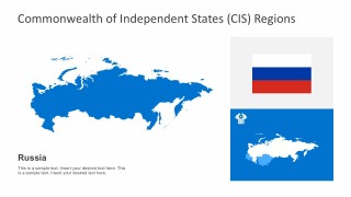
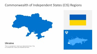
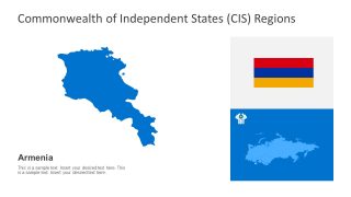
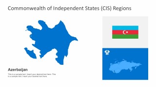
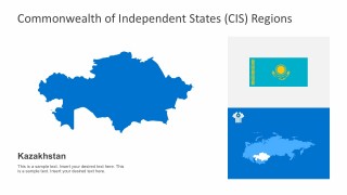
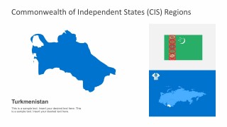
Commonwealth of Independent States PowerPoint Template contains editable presentation slides with the maps of the eleven international organizations, formerly known as the Union of Soviet Socialist Republics. The countries in the framework of the Commonwealth of Independent States include Russia, Belarus, Moldova, Ukraine, Armenia, Azerbaijan, Kazakhstan, Kyrgyzstan, Uzbekistan, Tajikistan, and Turkmenistan.
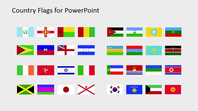
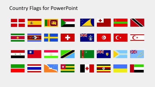
The PowerPoint template includes editable country maps, world map, country flags, and the Commonwealth of Independent States Region logo. The World Map is broken down by countries, color with names, and editable PowerPoint objects. Country Maps are individual objects that can be colored and changed so the user can build a regional territory map. The respective political flags are uniquely designed into a button like clipart. Purposely, the slide infographics are designed in a way that user can customize every part of it. They can ungroup the parts to change the color palette, write text, or pull out map sections to highlight a region. Each map comes ready for any marketing and territorial presentations.
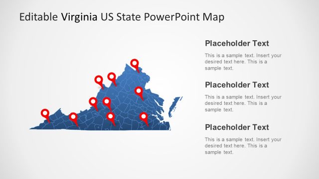
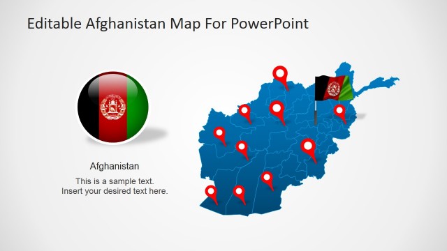
Access the collection of customizable PowerPoint Maps for presentations. Each feature provides individual country maps with territories, cities, capitals and important landscape. The flexibility of integrating the PowerPoint Maps into other slides makes the difference.


You must be logged in to download this file.
DOWNLOAD- Category
- Maps
- Rating


 Loading...
- Size
- 16x9
- Item ID
- 7256-01
- Colors
Subscribe today and get immediate
access to download our PowerPoint templates.