Bonaire Sint Eustatius and Saba PowerPoint Map
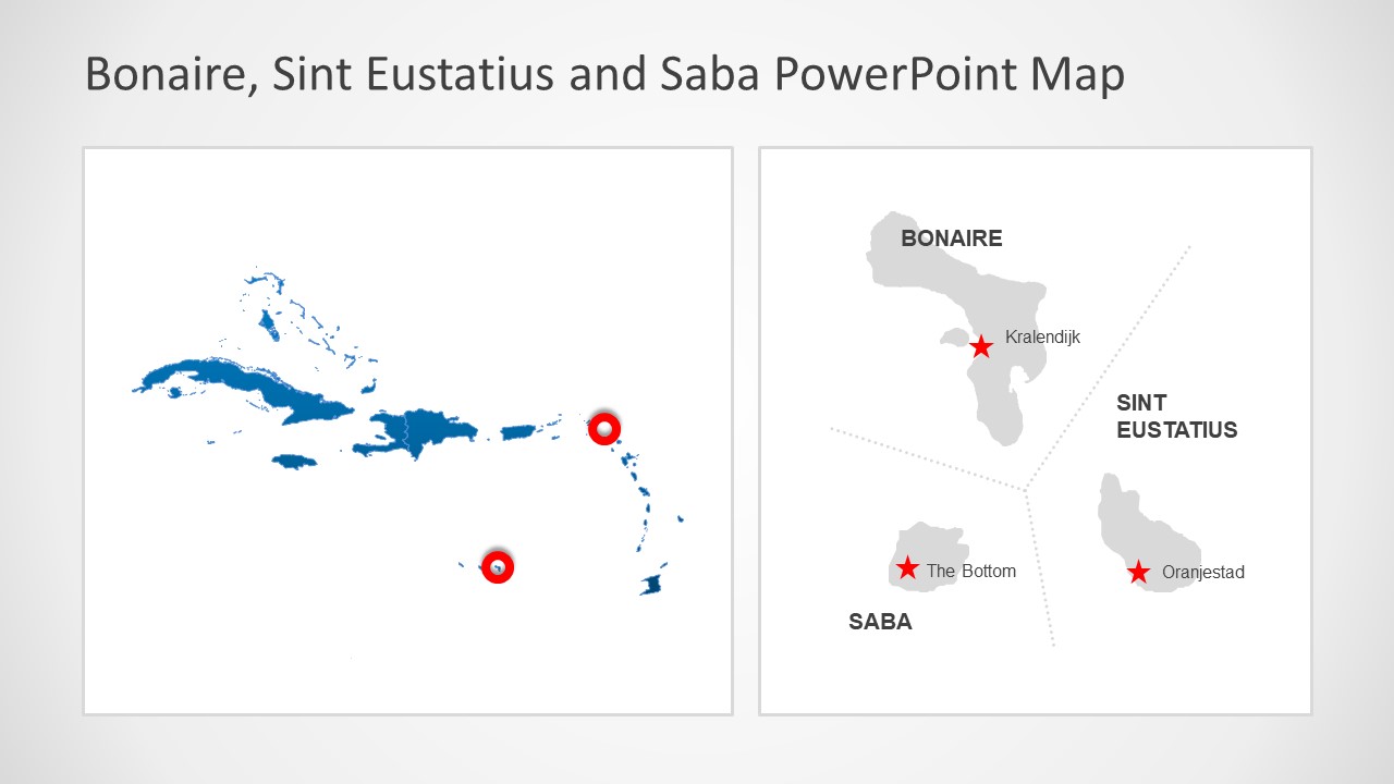
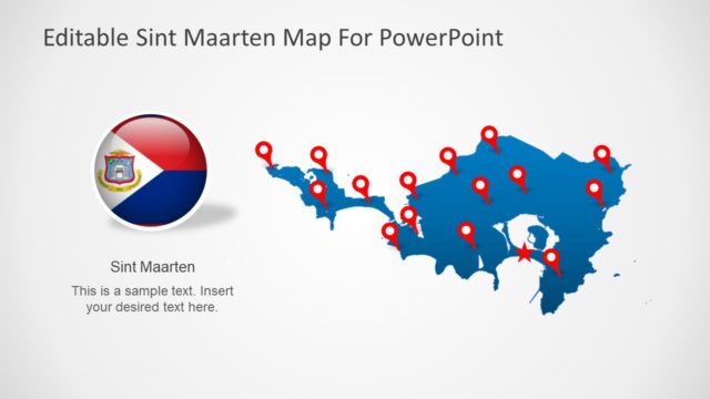
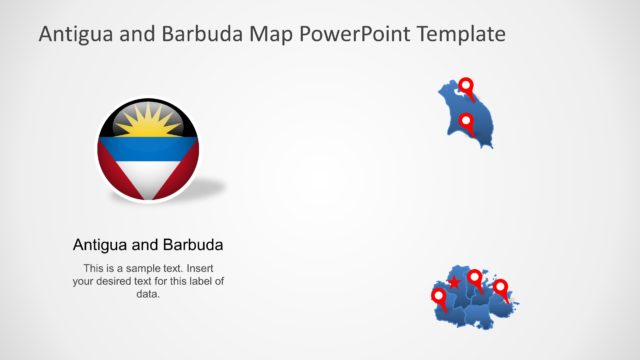
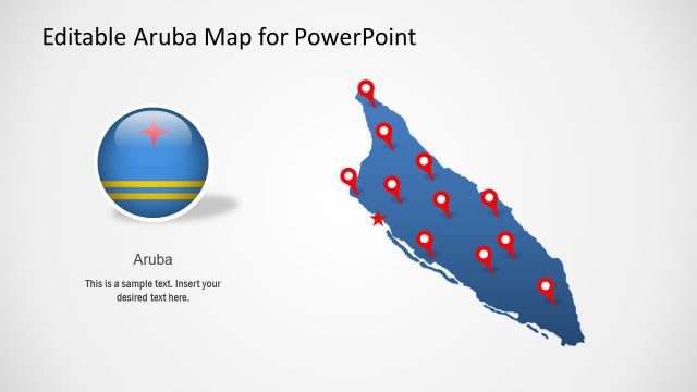
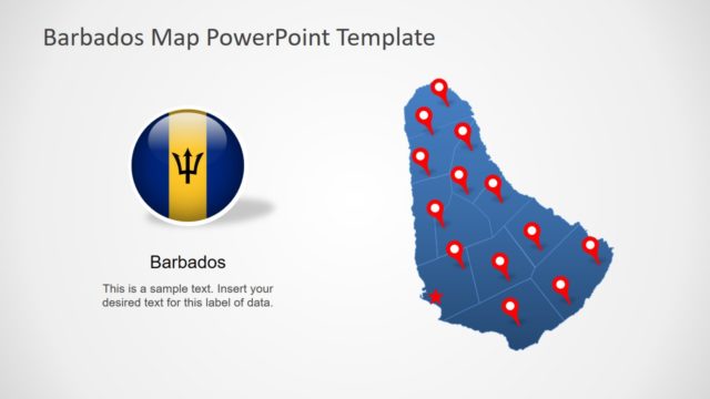
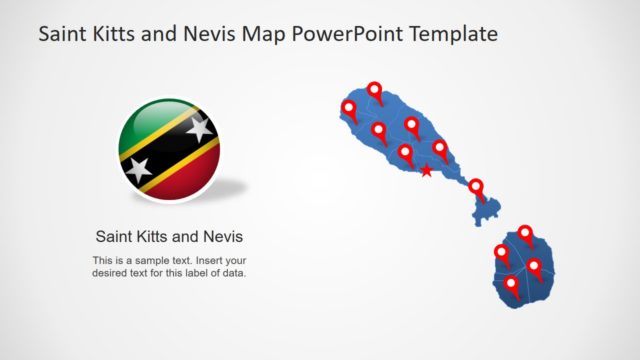
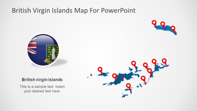
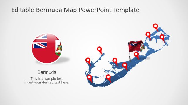
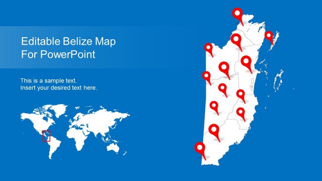
The Bonaire Sint Eustatius and Saba PowerPoint Map are editable geographic map templates of Caribbean region. These three islands are also known as the Caribbean Netherlands. Because these are the three municipalities of Netherlands, located in Caribbean. Therefore, this PowerPoint template provides silhouette maps of all three island countries together in one presentation. The users, however, can choose any map template out of Bonaire, Sint Eustatius, and Saba Island necessary for their presentation.
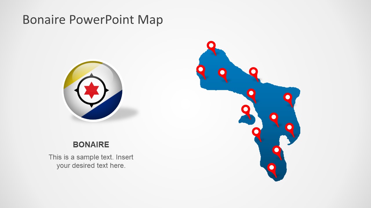
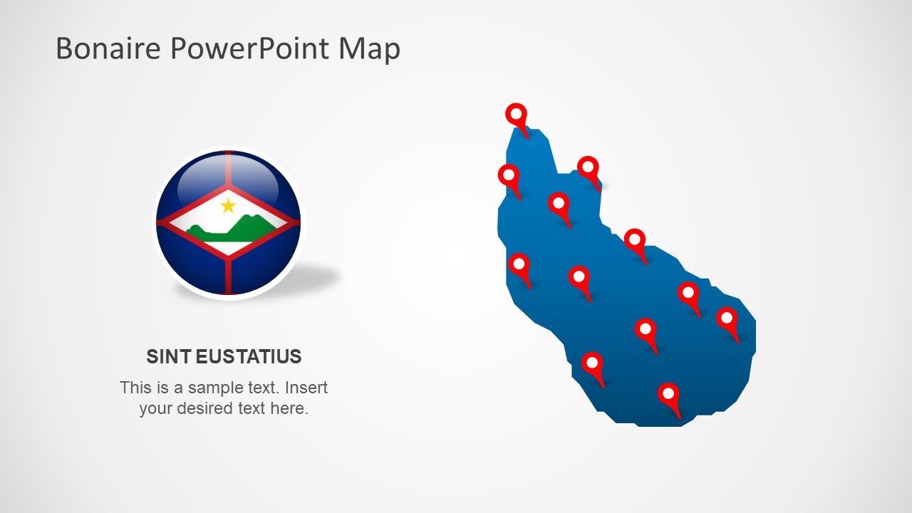
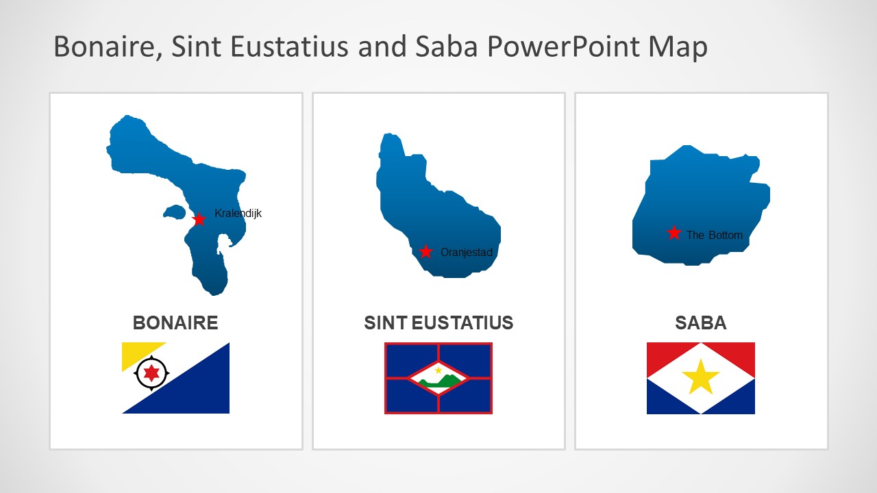
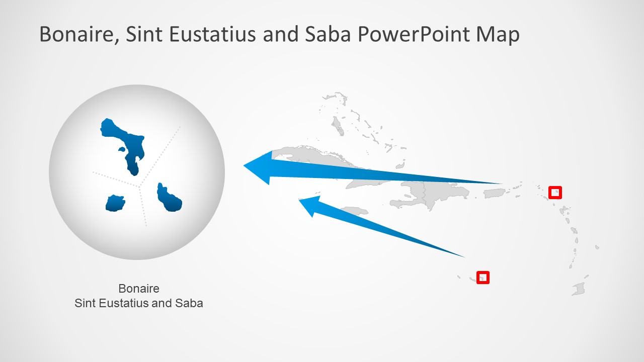
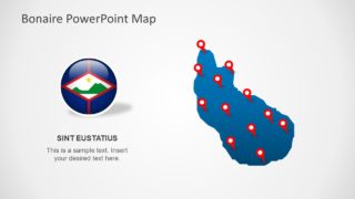
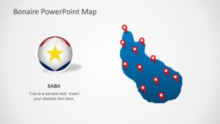
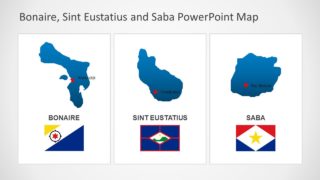
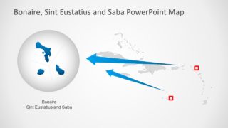
There are 6 slides in the map PowerPoint of Bonaire, Sint Eustatius, and Saba islands. These templates could be used as political outline maps to demonstrate administrative changes in group of BES islands. The map template provides silhouette shapes of islands with location markers, text placeholders, and flags. There are additional slides that highlight these islands as a part of Caribbean by creating a zoom-in effect. Because these PowerPoint shapes are high-resolution flat vectors. And, resizing these shapes does not affect image quality.
The Bonaire Sint Eustatius and Saba PowerPoint Map are fully editable PowerPoint. These are multi-purpose map slides that could be used for learning and business presentations. For example, describing the geographic regions of Caribbean or promote tourism. These are the outline political maps that are ideal for presenting demographic reports, economic statistics, trade, and tourism in region. Therefore, users can take advantage of pre-design map templates to discuss business opportunities in those regions.
