Free Perspective World Map for PowerPoint
Download Free Perspective World Map for PowerPoint & Google Slides
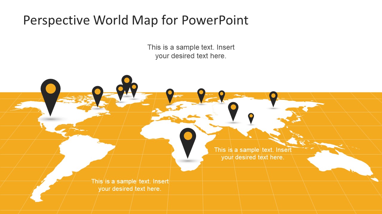
The Free Perspective World Map for PowerPoint is a one slide template of flat projection of earth. This map template displays layout of longitude and latitudes as the surface of map. Here, a tangerine surface and white map silhouette assist in easy marking without identifying especial countries. White color over tangerine surface also enhances the map shape. To make different locations, this world map PowerPoint provides a number of GPS location icons. These are the editable clipart icons; therefore, users can move, duplicate and delete these unites when require. Further, they can personalize these icons using different color fills. Or, modify the design by trying out different shape options.
The free slide of map is basically a slide tool for larger presentation like business marketing and global customer range. For instance, in company profile presentation, the map can geographically describe projects delivered in different continents. The companies can mark major consumer markets of their product or services for relevant topics. Such as marketing diversity survey, international product delivery and much more. Moreover, visualize the office locations, specific places, sales territories and much more. Hence it is an incredible free slide offered by SlideModel to utilize in just about any presentation.
The Free Perspective World Map for PowerPoint is a collection of editable map silhouette of individual continents. These are flat map silhouette in relaxed perspective 3D effect in PowerPoint. The users can change shape-fill of silhouette, slide background, longitude, and latitude area to create a convincing presentation for company. Additionally, the free template of perspective world map provides text placeholders to insert textual content.
FEATURES
- 100% Editable PowerPoint Templates & Google Slides.
- Compatible with all major Microsoft PowerPoint versions, Keynote and Google Slides.
- Modern 16:9 Aspect Ratio.
- Scalable Vectorial PowerPoint Shapes and PowerPoint Icons.
- Instant Access and Download.
- New Templates every week.
Google Slides Preview
Our PowerPoint Templates are compatible with Google Slides. Take the most of every platform using the tool you like.


