Slide 27 of 32 from #2 Editable Data Driven Maps Bundle
Editable PowerPoint Map of United States
Editable United States Map with Data Points
- Map
- Country Map
- Data Visualization Slide
- 16:9
- 100% Editable
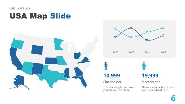
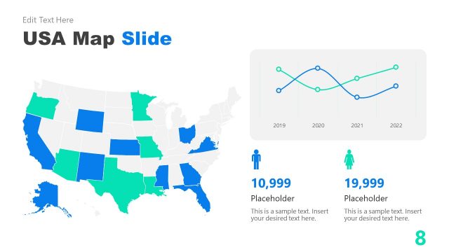
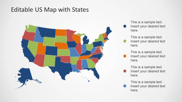
The United States Map with Data slide from the #2 Editable Data Driven Maps Bundle offers a clear geographic data visualization ideal for demographic analysis and market research. This slide template includes editable shapes and vector icons to highlight regional comparisons effectively within business presentations or corporate slide decks.
What’s on This Slide
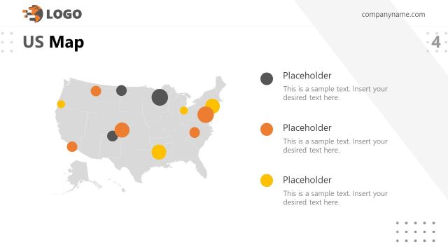
The layout features a detailed map of the United States, positioned centrally. The states are color-coded, with varying shades indicating different data values. To the right, three data points are displayed in circular icons, each accompanied by a label and a brief description. The title is located at the top, centered, with a subtitle directly below it. Text placeholders are present for the title and data descriptions, allowing for easy editing. The overall composition is balanced, with a clear visual hierarchy emphasizing the map and data points.
How to Use It
This layout serves as a geographic data visualization tool, suitable for presenting demographic or statistical information about the United States. It fits well in a presentation sequence that addresses geographic analysis or regional comparisons. Ideal scenarios include business reports, educational presentations, or market analysis, where visual data representation enhances understanding. The layout can be used individually to highlight specific data insights or trends across states.
Text Placeholders & Capacity
Keep your copy within these limits so it fits without resizing. Node labels can hold about 20 characters, while body text can accommodate roughly 100 characters each.
| Placeholder | Count | Max characters (approx.) |
|---|---|---|
| Slide title | 1 | 30 |
| Item heading | 3 | 20 |
| Item body | 3 | 100 |
Slide Keywords
Download unlimited PowerPoint templates, charts and graphics for your presentations with our annual plan.
DOWNLOADReturn to #2 Editable Data Driven Maps Bundle.